

Aerial Reconstruction supports 3DGS reconstruction of ultra-large models using only aerial images captured by a drone, without ground data captured by devices.
Workflow
Upload Aerial Data
- Aerial Data: Upload drone aerial-capture data. The interface will display the corresponding device type.
Drone RTK Data Toggle
v2.2.0 adds a drone RTK data toggle that controls whether RTK data recorded by the drone is used during aerial reconstruction.
- On (default): The system uses the drone's RTK data in reconstruction, generating a model with absolute coordinates.
- Off: The system completely ignores the drone's RTK data and reconstructs using visual data only; the model does not contain absolute coordinate information.
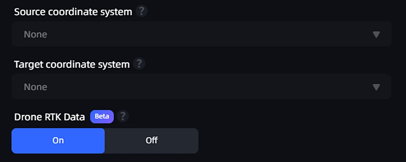
Aerial reconstruction coordinate conversion toggle
Enter the Model Name and Set Model Parameters
Aerial Data: Select the folder that contains drone-captured images. When selecting a folder, note the following:
- The folder must contain more than 100 and fewer than 10,000 images.
- Only JPG and JPEG image formats are supported.
- Image resolution must be higher than 1024×768, and every image must have the same resolution.
Note: The number of drone photos must not exceed 10,000.
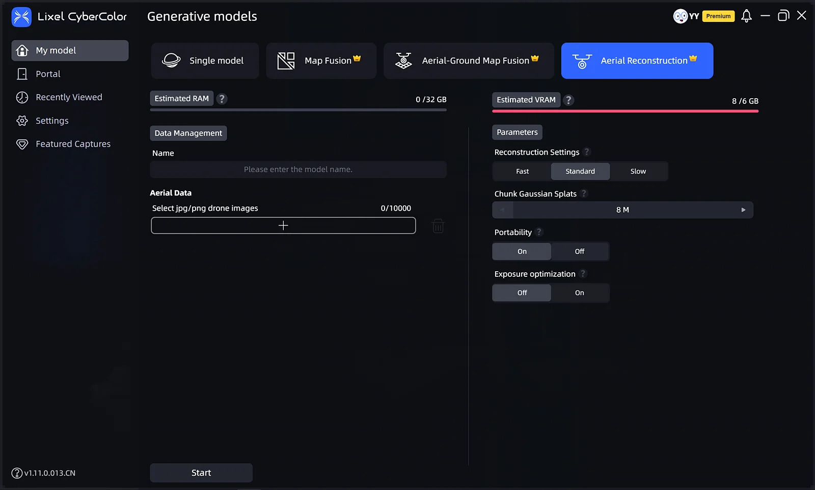
Aerial reconstruction
This chapter is from the official XGRIDS user manual. Official source (opens in a new tab) · Updated:



