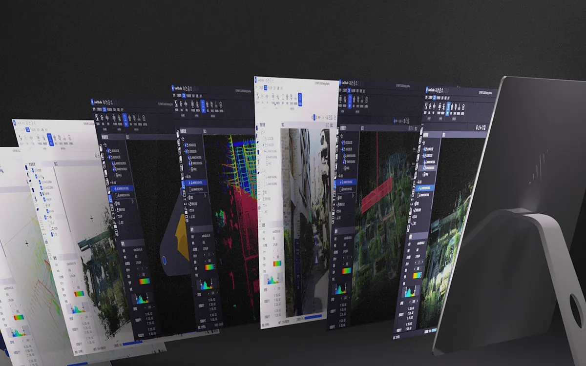
Point cloud processing
LixelStudioProduction-Ready Point Clouds in One Click
LixelStudio turns raw Lixel scanner data into a project-ready point cloud in one click. Hours of manual processing steps become minutes of automated processing.
- Point cloud output
- LAS · E57 · RCP
- Mesh output
- OBJ · OSGB
- Fusion in one operation
- 10 scans max.
- Vector drawing
- 2D · 3D
Data Quality
Every Dataset, Delivered to Engineering-Grade Standards
Color, geometry, noise, and mesh quality in a single step: data comes out ready for drafting, visualization, and project handoff.
-
Photorealistic Color
Point cloud color is consistent, sharp, and detail-rich — even in low-light conditions.
-
Engineering-Grade Geometry
Planar surfaces come out true to geometry, so drafting doesn't require repeated manual correction.
-
Noise Removal That Preserves Detail
Intelligent filtering removes noise without sacrificing structural detail.
-
Complete, Watertight Mesh
Stable, watertight mesh with accurate color and surface detail, ready for visualization and project handoff.
Software Tools
Process, Analyze, and Integrate in One Software
Intelligent data processing and editing for engineering applications: process, measure, and report on your data, and export it to your BIM, CAD, and GIS workflows in standard formats.
Data Processing
Eliminate manual processing bottlenecks: complex workflows take minutes instead of hours, and the quality report documents the accuracy of the result against control points.
-
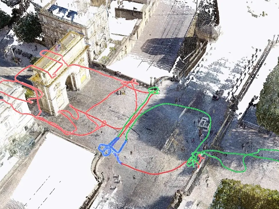
Map Fusion
For large-area mapping, combine multiple scanning sessions into a single map with RTK, ground control points (GCP), or connection points.
- Up to 10 scans in a single operation
- Control-point-free: fuse by selecting overlapping trajectories
- Optional manual registration from shared points
-
SLAM Mapping
One-Click Processing: raw scan data becomes a production-ready point cloud with automated loop closure and coordinate transformation.
-

Precise Colorization
Denser point cloud, precise colorization: complex scenes come out sharp, small text is legible in rich color detail, and even wall cracks are distinguishable.
-
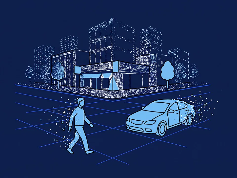
Dynamic Object Removal
Pedestrians and vehicles captured during scanning are automatically removed during processing, so the point cloud comes out clean and stable.
-
Critical Area Enhancement
Select points of interest (POI): targeted enhancement delivers more spatial detail in these areas while processing time and file size stay under control.
-
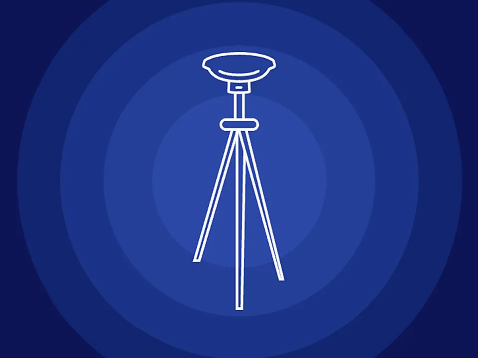
PPK Support
PPK-enhanced SLAM improves global alignment and point cloud accuracy.
-
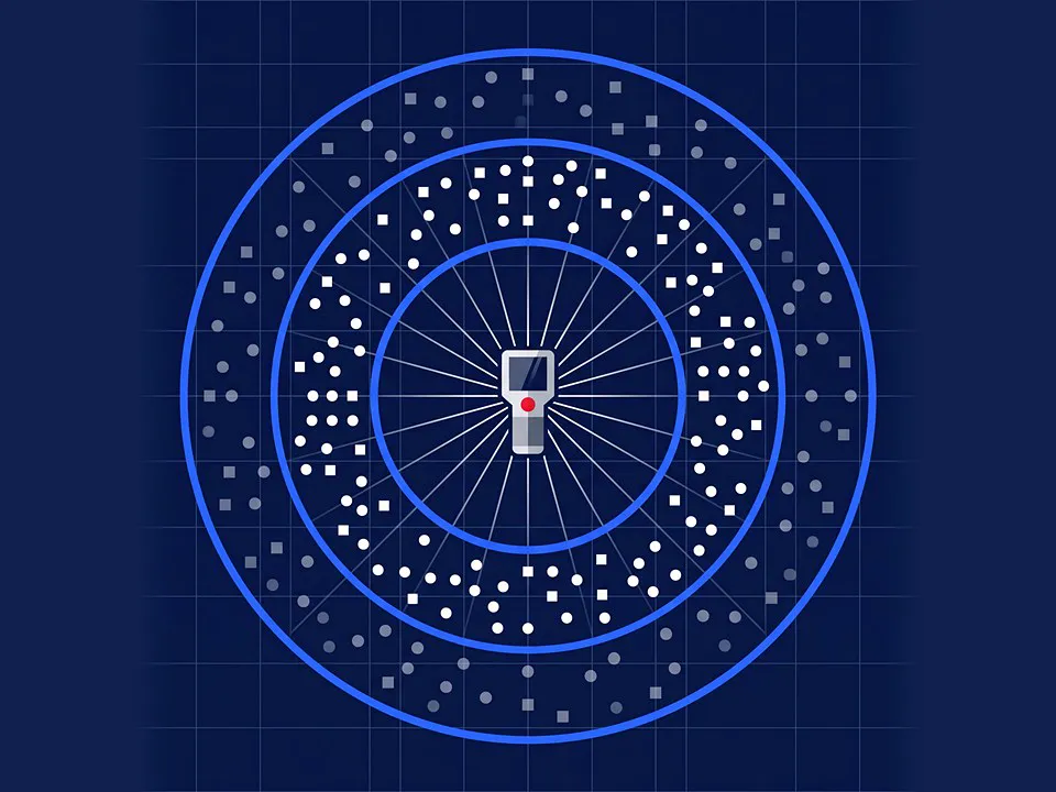
Scan Distance Filter
The LiDAR threshold filter limits the point cloud to the distance range you select: the minimum is set between 0.5–10 m and the maximum between 5–120 m.
-
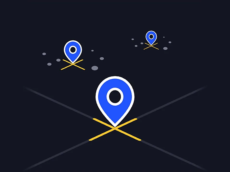
Quality Control
Check point analysis is automated; accuracy is documented with a statistical report.
Measurement & Analysis
Turn point clouds into decision-ready information: measure, cut sections, calculate volumes and report the results.
-
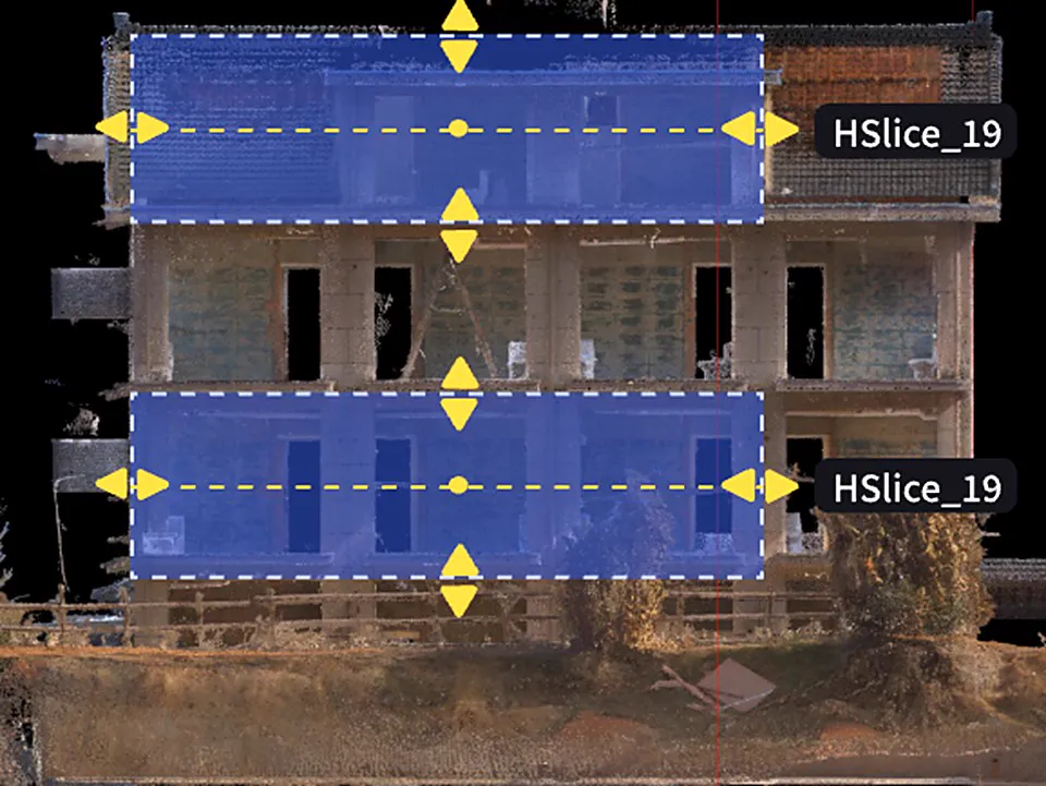
Point Cloud SlicingNew
Horizontal/vertical slicing for floor plans and cross-sections.
-
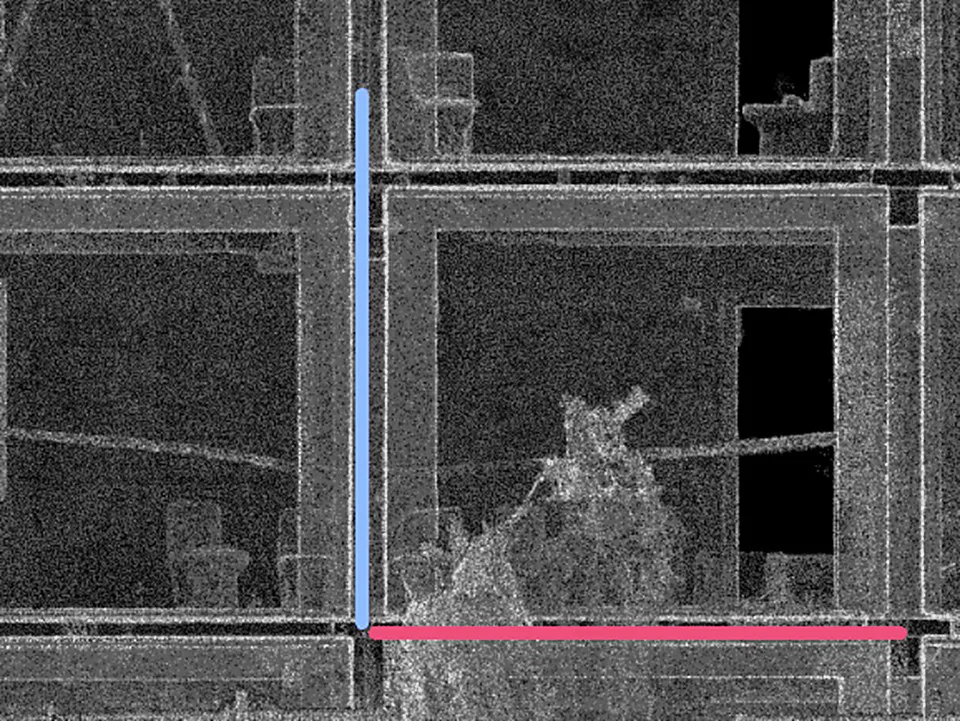
Alignment ToolNEW
Coordinate-aware alignment with fine-tuning controls.
-
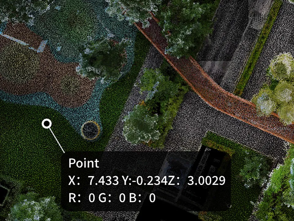
Measurement Suite
Point, distance, area, and angle measurements with imperial/metric units.
-
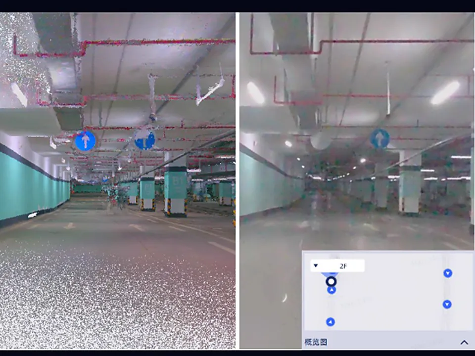
Panorama OverlayNEW
Synchronized point cloud and panoramic viewing with floor-by-floor navigation.
-
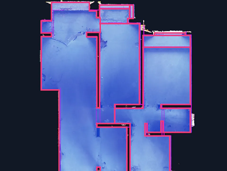
2D and 3D DrawingNEW
Generate floor plans and 3D vector drawings from point clouds: smart 2D contour extraction, plus 3D polyline drawing and editing.
-
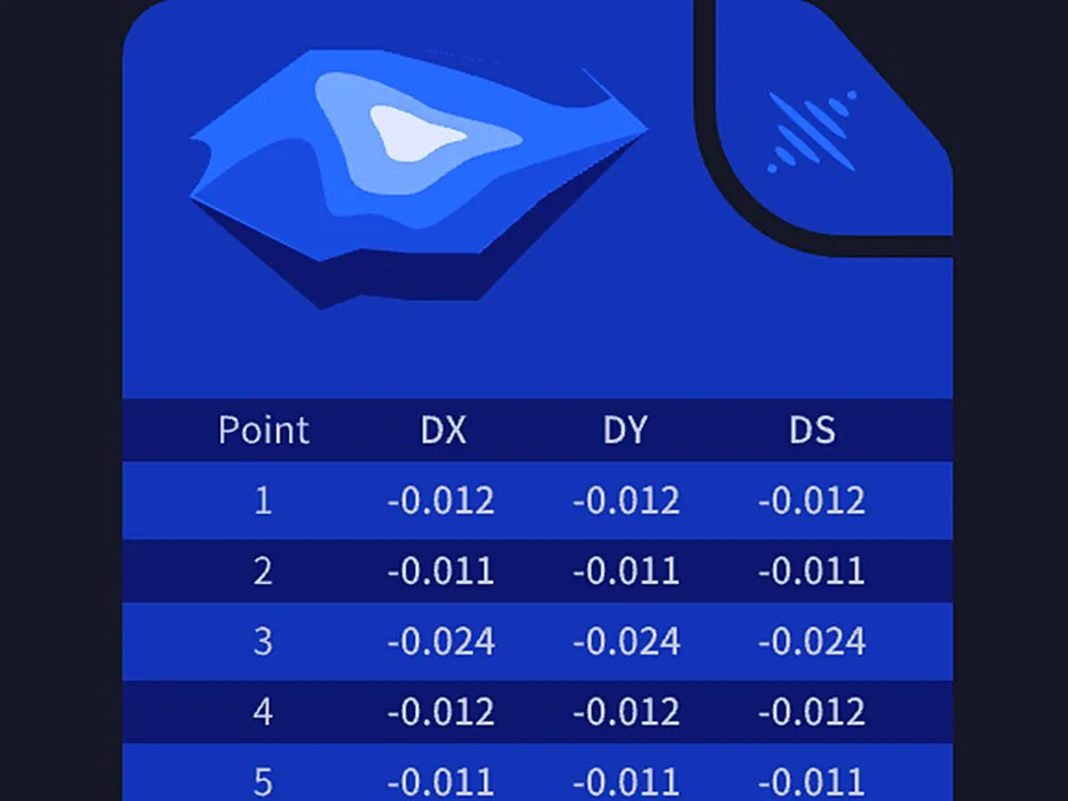
Volume Calculation
Single and comparison volume analysis with automated reporting for stockpile management.
Professional Workflows
Seamlessly connect to existing systems. Deliver survey-grade results in industry-standard formats that integrate directly into BIM, CAD, and GIS workflows.
-

Remote TransmissionNEW
Real-time point cloud streaming and remote device control for Lixel L2 Pro with live collaboration capabilities.
- Cloud service integration
- Direct USB/WiFi connection
- Remote start/stop control
-
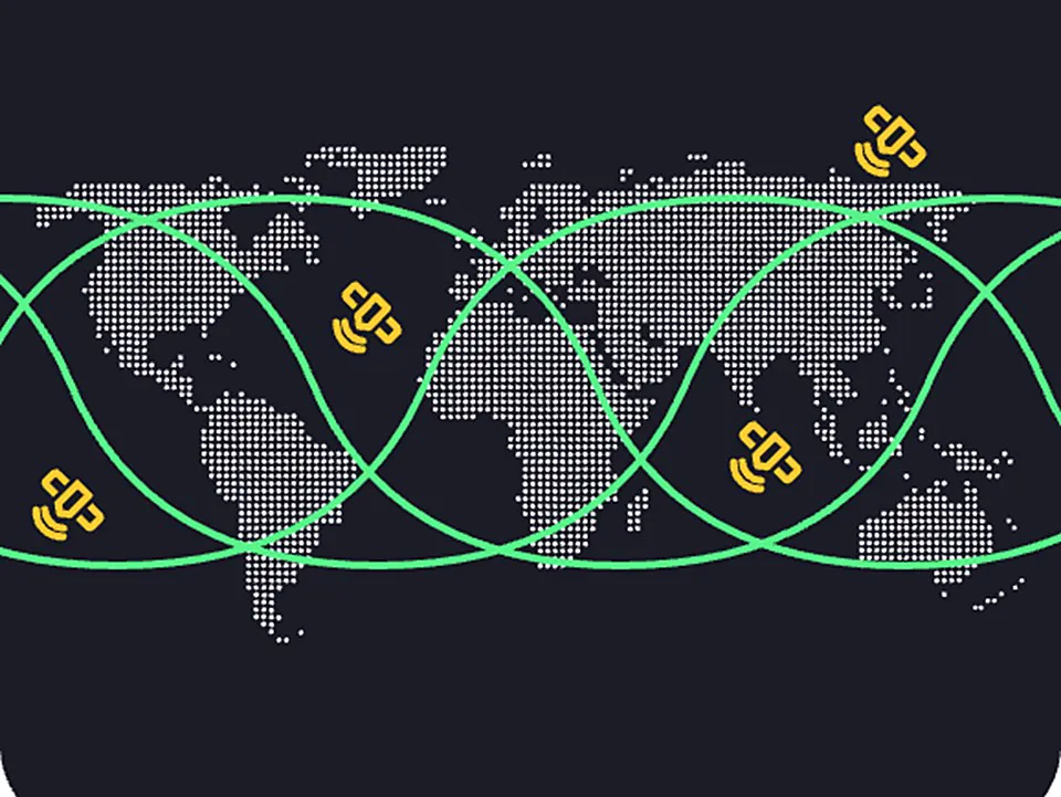
Coordinate Systems
Built-in support for HK1980, JGD2011, CGCS2000, and custom transformations.
- 8+ built-in coordinate systems
- 7-parameter datum transformation
- Geoid model integration
-
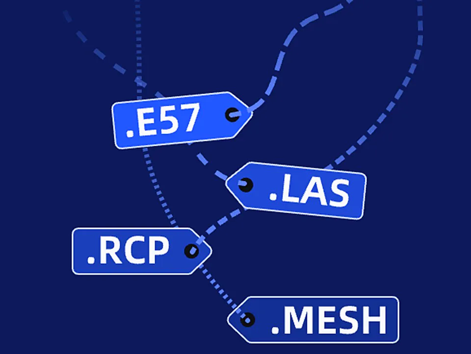
Export Formats
LAS, E57, RCP, and mesh generation for BIM and CAD platforms.
- AutoCAD software family compatibility
- Structured E57 with panoramic images
- Mesh generation (.obj, .osgb)
Software & Plugins
Our Other Software
-
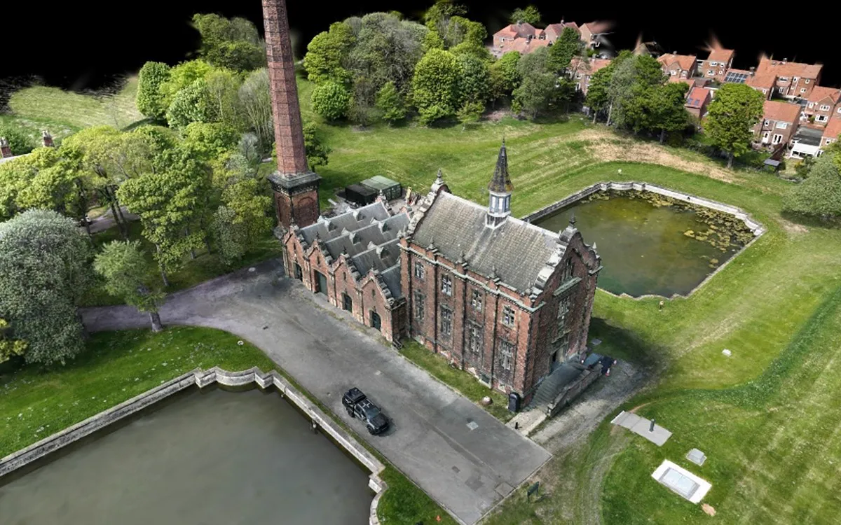 3DGS production platform
Lixel CyberColor
Generate photorealistic 3DGS models from scans locally or in the cloud; edit them and share on scanner, desktop, or mobile.
Learn More
-
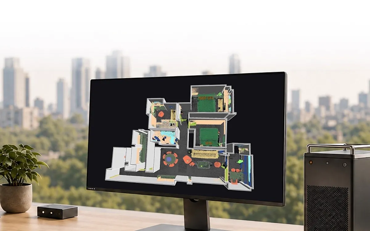 Scan-to-BIM integration
LCC Revit Plugin
Open point clouds and 3DGS models directly in Revit; according to XGRIDS, Scan-to-BIM modeling time drops by 70–90%.
Learn More
-
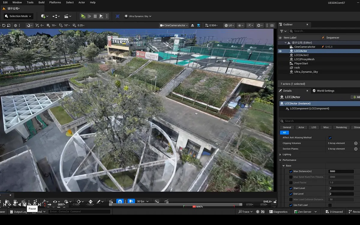 Game Engine, Web, and XR
LCC UE Plugin
Use billion-scale 3DGS scenes in real time in game engines, on the web, and in XR: virtual production, games, and simulation.
Learn More
XGRIDS Türkiye
See LixelStudio With Your Own Data
See with your own data how processing time drops from hours to minutes in your surveying and mapping projects. Talk to our expert team for a demo and sample data.
+90 216 546 0804