Skip to content
TREN
Atlıhan Harita

SLAM Scanner

Lixel K2The Gold Standard in Lightweight Scanning

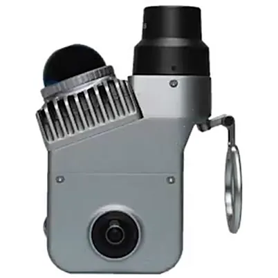
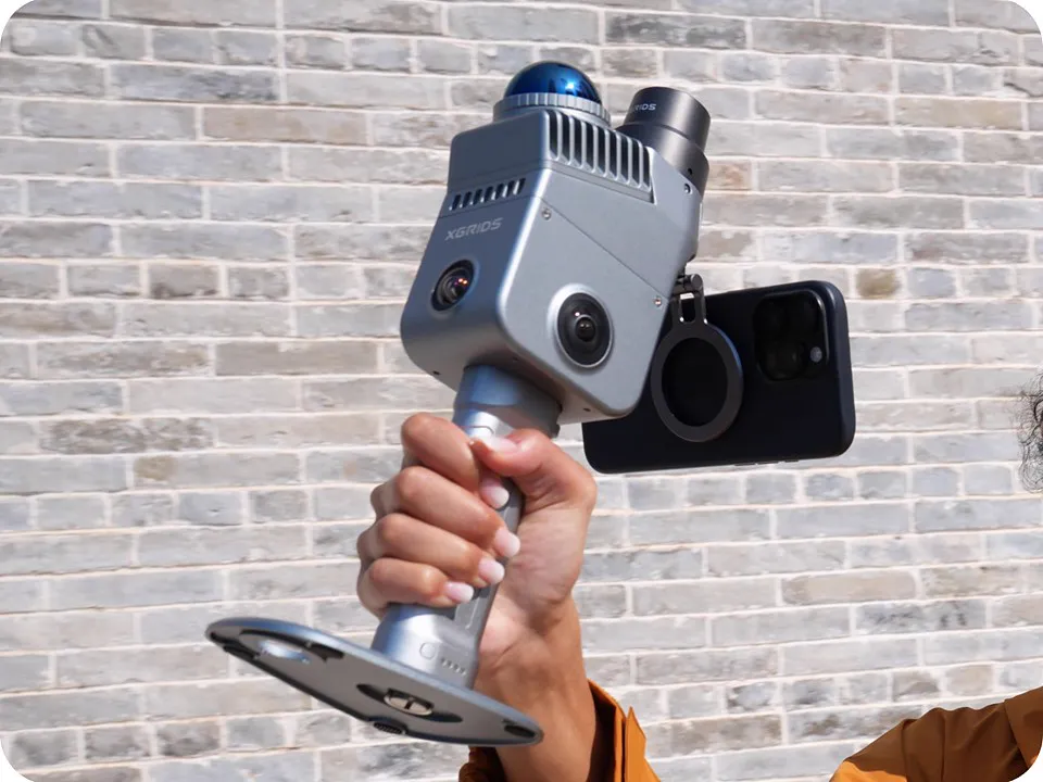
The Lixel K2 is XGRIDS' lightweight spatial scanner built for real-world conditions — balancing capture efficiency, ease of use, and deliverable quality. From engineering measurement, heritage preservation, to stockpile volumetrics, and real estate, K2 is the reliable choice for 3D spatial data capture.

Relative accuracy
1 cm
Weight
1,2 kg
Points/s
200,000
Camera
3

Overview

Reliable Data on Every Project

Consistent, engineering-grade data output, versatility across project types, and end-to-end workflow integration. Lixel K2 delivers all three in one lightweight device.

Lixel K2
Lixel K2Lightweight, engineering-grade handheld scanner

1 cm

Measurement Accuracy

Wall distances and window dimensions you can rely on

≤1 cm

Point cloud thickness

Fine detail, faithfully reproduced

1,2 kg

Lightweight device

Aviation-grade aluminum, IP54

200,000

Points/s

≥40m @10% reflectivity, 100m maximum range

RTK

Built-in module

Spatial coordinates, precisely locked

3

Camera

2 × fisheye, 1 × forward facing, 4000 × 3000

4 output

In a single pass

Real-time point cloud, post-processed point cloud, mesh, 3DGS

80 min

Battery life

Clip-on battery, 512 GB internal storage

Technology

Smarter Perception, Precise Positioning

The Multi-SLAM real-time spatial perception system, multi-camera array, and integrated RTK module work together: data is processed, colorized, and georeferenced as you scan.

  • Multi-SLAM Real-Time Spatial Perception System

    • More processing power
    • Real-time dynamic object removal, filtering & coloring
    • Guided scan assistance with real-time quality check
  • Multi-Camera Array

    • Complete environmental detail, captured.
    • 2 × fisheye (200° × 200°) and 1 × forward-facing camera (100° × 85°)
    • Photo-realistic color, clear even in low light
  • Integrated RTK Module

    • Spatial coordinates, precisely locked
    • BDS, GPS, GLONASS, Galileo, QZSS, and SBAS
    • PPK, iRTK and CORS support

Lixel K2 Specs

01Engineering-Grade Data

Lightweight Device. Engineering-Grade Data.

Engineering-grade dimensions for walls, openings, and clearances. Clean structure and sharp boundaries for faster drafting.

Measurement Accuracy
1 cm
Point cloud thickness
≤1 cm
Absolute accuracy
3 cm

Relative accuracy: point-to-point distance within 10 m, measured under laboratory conditions (RMSE). Absolute accuracy: measured under open sky, with optimal GNSS geometry.
02True to Life

Point Clouds, True to Life

Structural clarity and color fidelity, preserved: complex geometry clearly resolved, uniform colorization makes every detail visible.

  • Complex geometry — clearly resolved.Recessed surfaces and fine elements can be distinguished.
  • Uniform colorization. Every detail, visible.Natural color transitions, visible detail.
  • Denser point clouds, truer detail.More real detail.
  • Low-light environments. Still sharp.Clear data even in dark environments.

03LixelUpSample™

Denser Point Clouds, Sharper Detail

The LixelUpSample™ algorithm increases the density of point clouds scanned with Lixel K2 in software; raw scan data becomes a denser, more detailed point cloud.

  • Denser Data From the Same ScanDensity is increased during processing; no additional fieldwork is required.
  • Point clouds, true to life.Fine detail, faithfully reproduced.

04LixelStudio

Upgraded for higher-quality data output.

The point cloud processing workstation LixelStudio has been upgraded for higher-quality data output from Lixel K2: every stage is refined, from color accuracy to sharper point clouds.

  • Photo-realistic colorClear even in low light
  • Improved levelingHorizontals and verticals, precisely aligned
  • Cleaner filteringSharper edges
  • More complete meshFuller structural detail

05LCC 2

From Scan to 3D Content

The new LCC 2 3D Gaussian Splatting format. Faster loading. Smoother navigation. Lighter file sizes. Spatial reality, reconstructed at higher fidelity and greater efficiency.

  • Production With Lixel CyberColorPhoto-realistic 3DGS models from Lixel K2 scans.
  • Mobile workflow controlReal-time capture preview, in-app measurements and point cloud file sharing on your phone.

One Scan, Multiple Outputs

Every Output, Matched to the Task

Four outputs from a single scan: real-time point cloud, post-processed point cloud, mesh, and 3D Gaussian Splatting. The full loop, from site to delivery, is closed with the same data.

  1. Real-time Point Cloud

    On-site assurance for urgent projects. Assess data quality as you scan, measure and share in the app.

    • .las
    • .ply
  2. Post-Processed Point Cloud

    The foundation for high-precision, engineering-grade deliverables.

    • .las
    • .e57
    • .rcp
    • .ply
  3. Mesh

    Editable, structured 3D models, generated fast.

    • .osgb
    • .obj
    • 3D Tiles
  4. 3D Gaussian Splatting

    3D reconstruction at high accuracy and realism.

    • .lcc2
    • .lcc
    • .ply
    • .usd

Ecosystem

Your Entry Point Into the XGRIDS Ecosystem

Lixel K2 connects to XGRIDS' end-to-end software platform, from scan to delivery: from real estate and engineering measurement to heritage preservation and stockpile volume measurement.

Accessories

Standard Set and Accessories

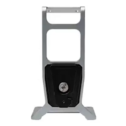
Phone mount and control point base are included; extension pole and adapter kit are optional.

  • Phone Mount

    Capture preview and device status at a glance.

    Standard

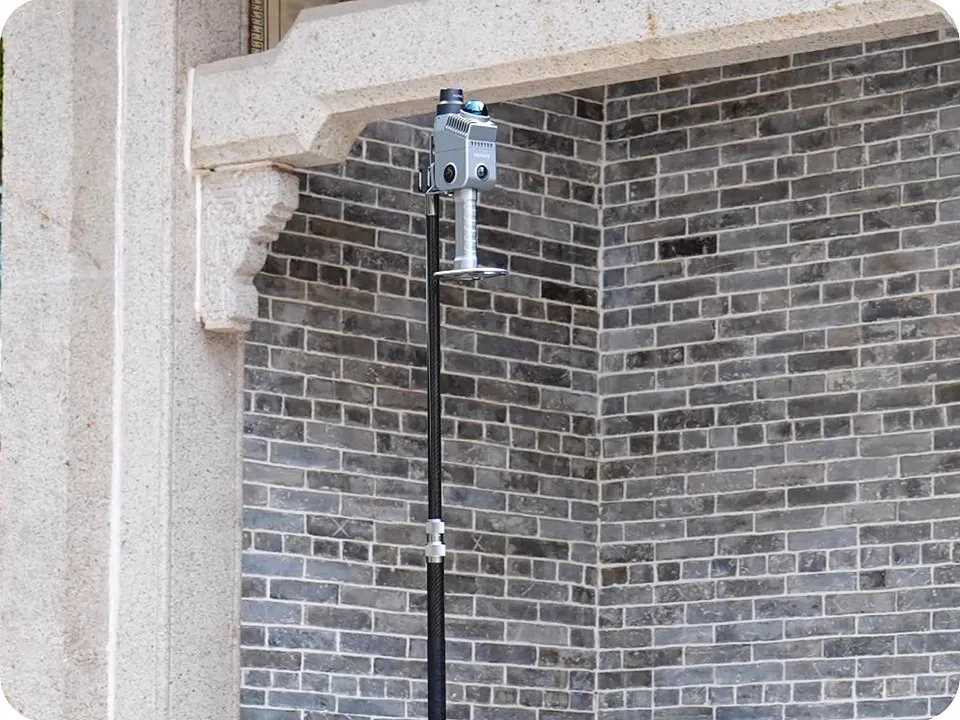
  • Extension Pole

    For high ceilings and hard-to-reach areas.

    Optional

    • Device + phone mount
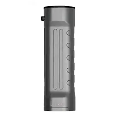
    • 2 × Battery
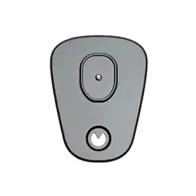
    • Control point base
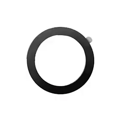
    • Magnetic ring
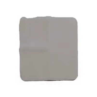
    • Cleaning cloth
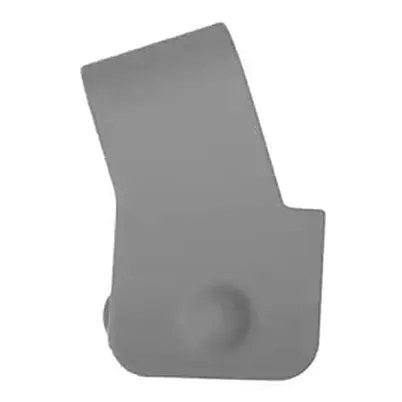
    • Silicone protective case
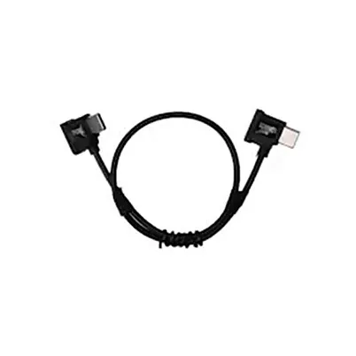
    • Connection cable
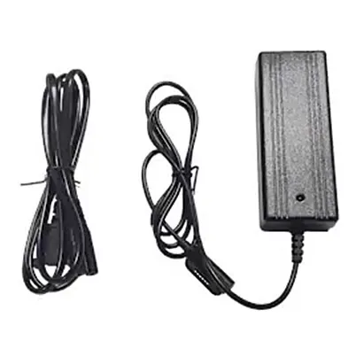
    • Charging cable
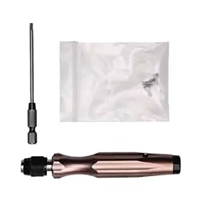
    • Extension pole adapter
    • Tool kit

    Standard Contents

    Everything you need to start scanning, in one box.

    Standard

Specs

Lixel K2 Specifications

Hardware

Power input
14.4 V
Power consumption
< 20 W
Weight¹
Approx. 1,200 g
Data interface
USB 3.1 Gen2
Internal storage
eMMC 512 GB
RTK module
Built-in
WiFi
IEEE 802.11a/b/g/n/ac (2.4 / 5 GHz)
Bluetooth
v2.1+EDR / 3.0+HS / 4.2 / 5.0
Housing
Aviation-grade aluminum
Battery life
80 min

Accuracy

Absolute accuracy, elevation / horizontal (RMSE)²
3cm / 3cm
Relative accuracy (RMSE)³
1 cm
Repeatability⁴
2 cm
Post-processed point cloud thickness
≤ 1 cm
Real-time absolute accuracy, elevation / horizontal (RMSE)⁵
3cm / 3cm

LiDAR Module

Laser class
Class 1 / 905nm
Scan range
≥ 40 m @10% reflectivity
100 m maximum range
Field of view
360° × -7°~+52°
Scanning
Mobile
Point rate
200,000 pts/s

Vision Module

Camera count
3 (2 × fisheye, 1 × forward facing)
Panoramic FOV
200° × 200°
Forward camera FOV
100° × 85°
Camera resolution
4000 × 3000
CMOS sensor size
1/2"
Shutter
Rolling shutter

GNSS

GNSS
BDS B1I, B3I, B1C, B2a, B2b
GPS L1C/A, L1C, L2C, L2P(Y), L5
GLONASS G1, G2, G3
Galileo E1, E5a, E5b, E6
QZSS L1C/A, L1C, L2C, L5, L6
SBAS L1C/A

Operating Environment

Temperature range
-20 °C to 50 °C
Ingress protection
IP54

Battery

Power Supply
Clip-on battery
Capacity
1,900 mAh

Feature Highlight

Guided scan assistance with real-time quality check
Supported
In-app measurements and point cloud file sharing
Supported
Real-time dynamic object removal, filtering & coloring
Supported
Point cloud, mesh, 3DGS output from a single scan
Supported

Output Formats

Point cloud
.las .rcp .e57 .ply .ilas
Imagery
.jpg
Mesh
.osgb .obj
3DGS
​.lcc2 .lcc .ply
Other
3D Tiles, .usd

Accessories

Phone mount
Standard
Control point base
Standard
Extension pole & adapter kit
Optional
  1. Includes battery and base, excludes other accessories.
  2. Measured under open sky, free of multipath effects, with optimal GNSS geometry and favorable atmospheric conditions.
  3. Point-to-point distance within 10 m; measured under laboratory conditions. Actual performance may vary.
  4. Measured under laboratory conditions; actual performance may vary.
  5. Measured under open sky, optimal GNSS geometry; supports WGS84 and CGCS2000 only.

XGRIDS Türkiye

See Lixel K2 in the Field

Evaluate the lightweight scanning workflow on your own project. Talk to our expert team for a demo, sample data, and a quote.

+90 216 546 0804