
SLAM Scanner
Lixel L3
Flagship High-Accuracy Spatial Scanner
- Verified 5 mm relative accuracy
- Photorealistic visual quality
- Reliable in complex environments


Product Family
XGRIDS' Multi-SLAM and multi-sensor fusion technology turns a site captured on foot into measurable 3D data. Compare the right device for your project side by side, feature by feature.
Products
High-accuracy surveying, large-area scanning, lightweight fieldwork and walkable 3DGS content: each device answers a different need.
SLAM Scanner
Flagship High-Accuracy Spatial Scanner
SLAM Scanner
Large-Area Spatial Scanner
SLAM Scanner
The Gold Standard in Lightweight Scanning
Spatial Camera
Spatial camera for 3DGS modeling
Comparison
Compare the four devices in a single table by applications, output formats, scanning time and accuracy values.
| Feature | Lixel L3 | Lixel L2 Pro | Lixel K2 | PortalCam |
|---|---|---|---|---|
| Applications |
|
|
|
|
| Output Data Formats |
|
|
|
|
| Operating time |
|
|
|
|
| Weight |
|
|
|
|
| Dimensions |
|
|
|
|
| Storage |
|
|
|
|
| RTK methods |
|
|
|
|
| Accuracy |
|
|
|
|
| Standout Features |
|
|
|
|
Software & Plugins
Software that turns your data into results, from point cloud processing to 3DGS production and Revit and Unreal Engine integration.
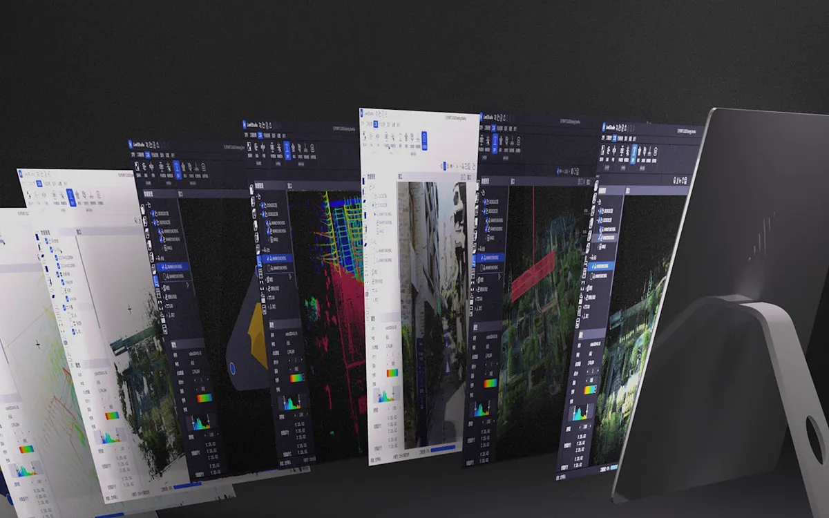 Point cloud processing
LixelStudio
SLAM solution, map fusion with RTK and ground control points, PPK, quality report, sections, 2D drafting, and volume calculation in a single software.
Learn More
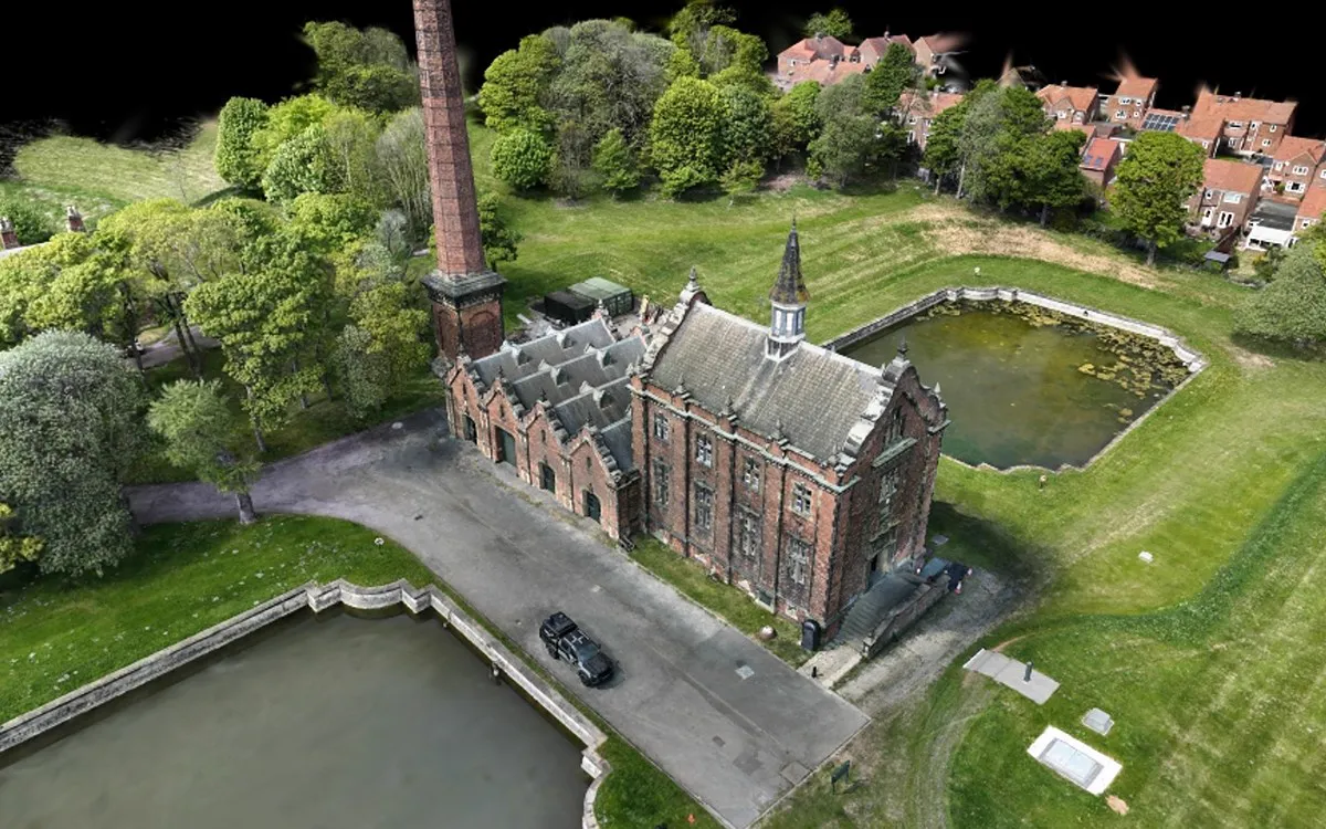 3DGS production platform
Lixel CyberColor
Generate photorealistic 3DGS models from scans locally or in the cloud; edit them and share on scanner, desktop, or mobile.
Learn More
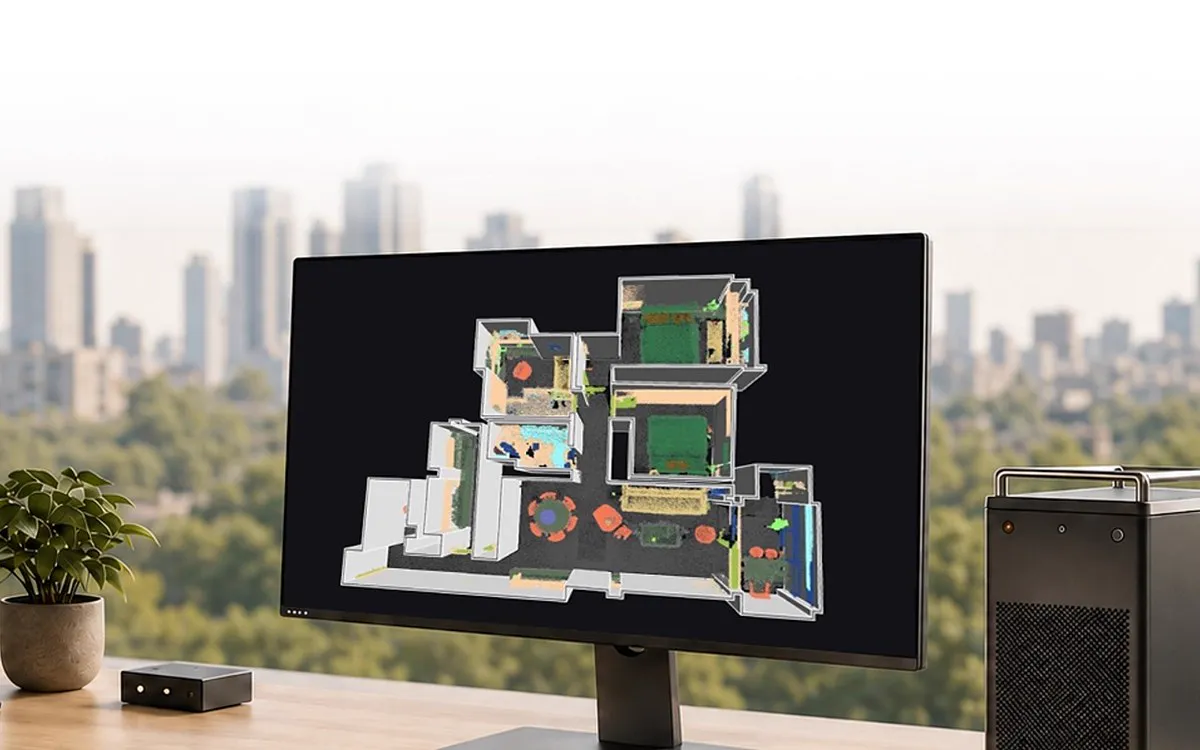 Scan-to-BIM integration
LCC Revit Plugin
Open point clouds and 3DGS models directly in Revit; according to XGRIDS, Scan-to-BIM modeling time drops by 70–90%.
Learn More
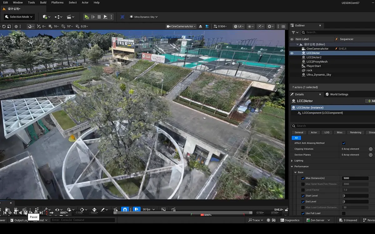 Game Engine, Web, and XR
LCC UE Plugin
Use billion-scale 3DGS scenes in real time in game engines, on the web, and in XR: virtual production, games, and simulation.
Learn More
Accessories
Extend field time, increase reach and tie your data to coordinates with power, carrying, mounting and RTK accessories.
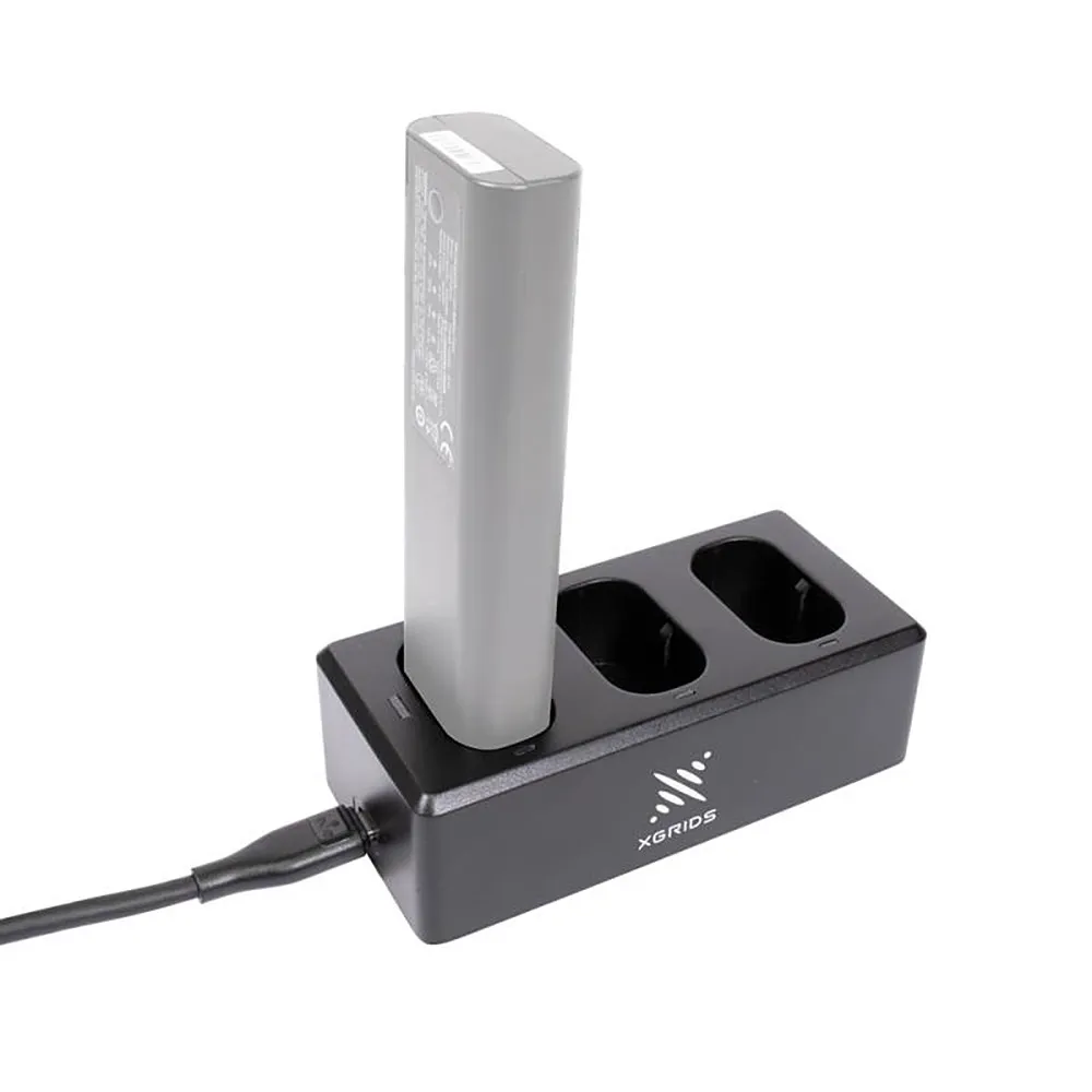
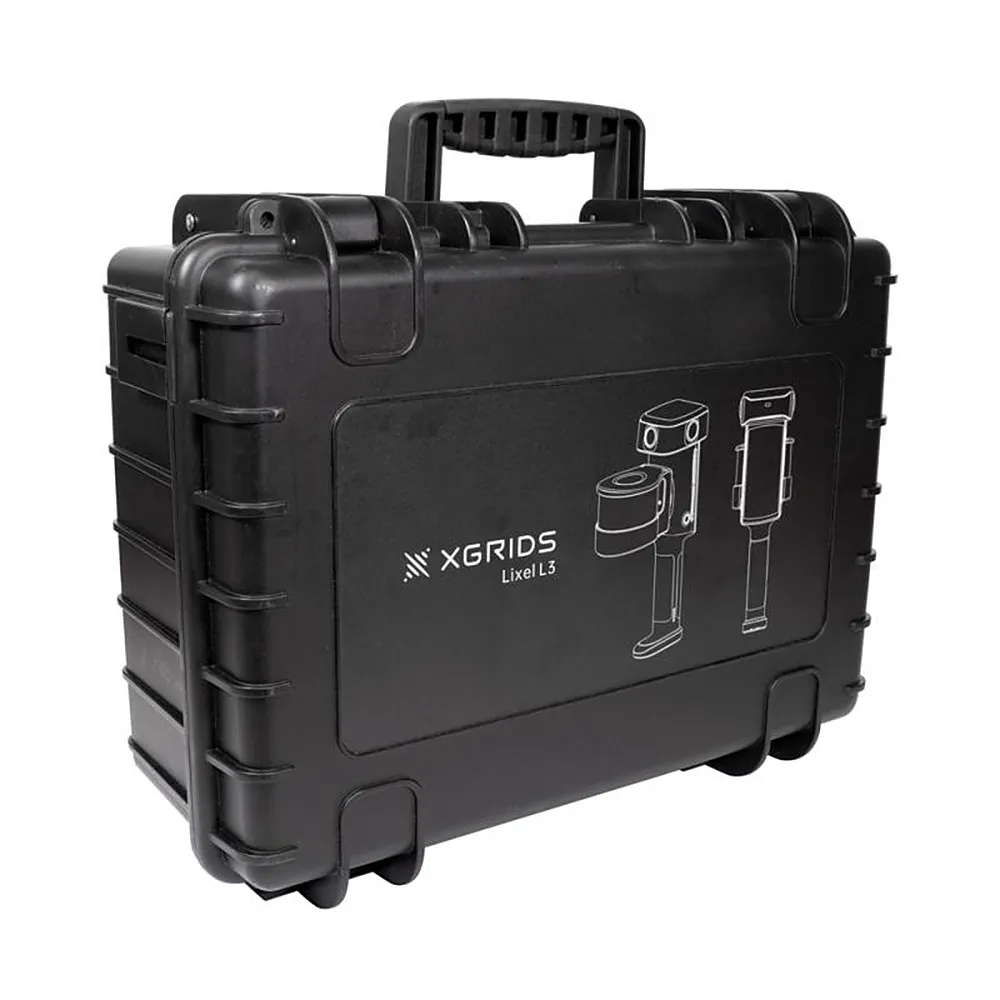
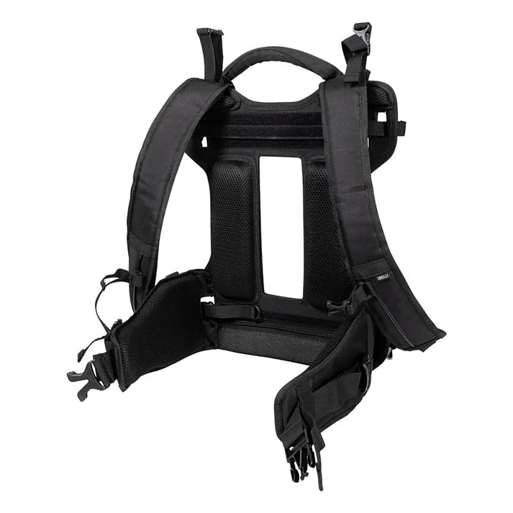
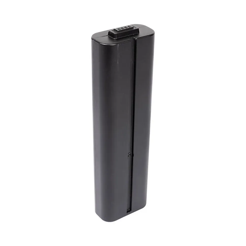 5 accessories
Lixel L3
With quick battery swaps, three-slot charging and ergonomic carrying, scanning continues without interruption through long field days.
Support Strap · Charging Station · Hard Carrying Case · Bag Shoulder Straps · Spare Battery
Explore Accessories
 8 accessories
Lixel L2 Pro
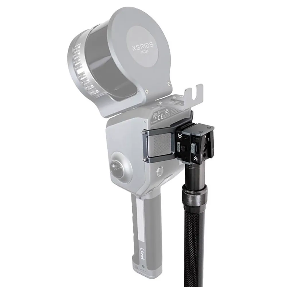
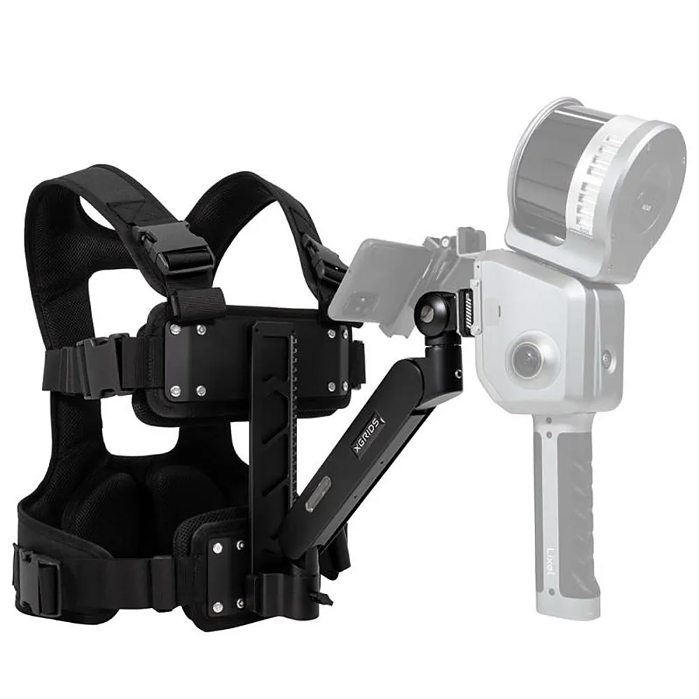
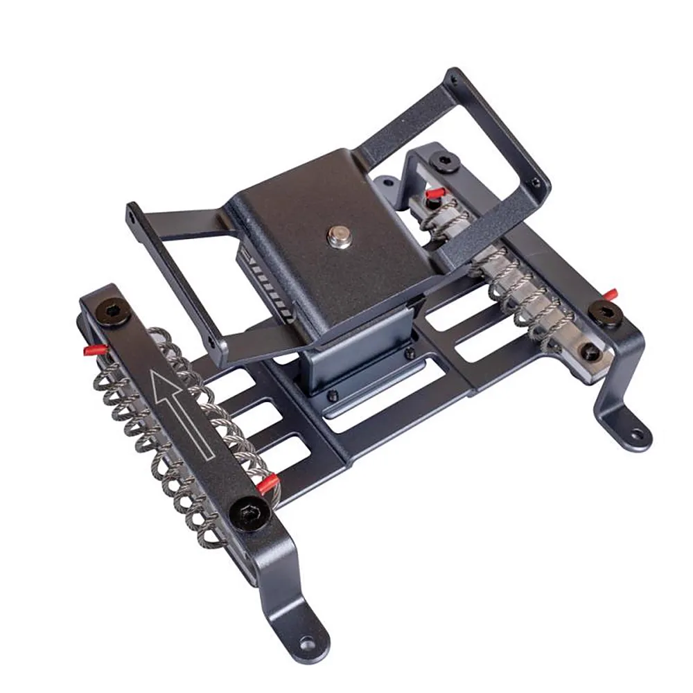
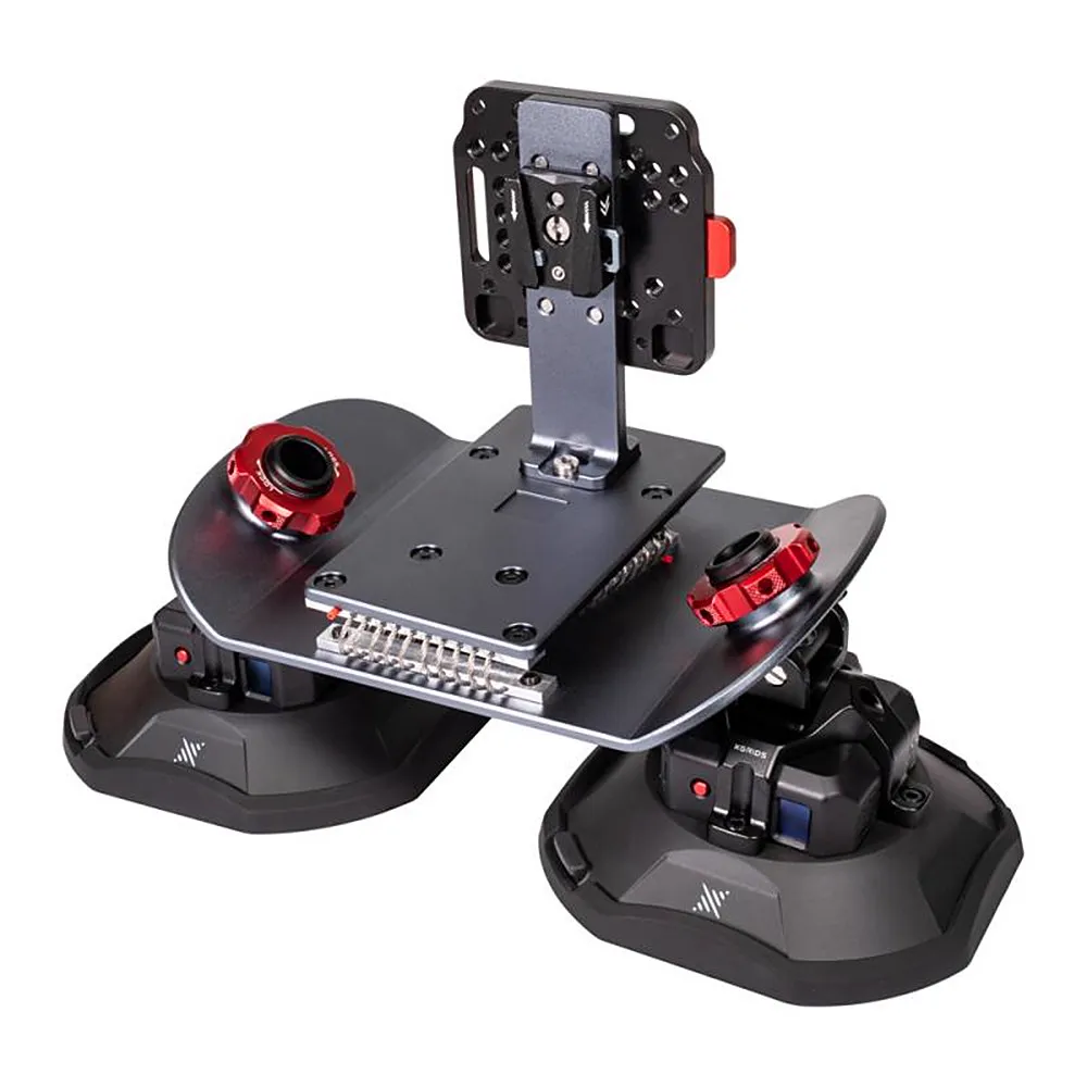
Use the same scanner handheld, on a pole, on your back, on a vehicle, and on a drone; tie your data directly to coordinates with RTK kits.
Extension Pole (2 m) · Support Strap with Balancing Arm · Drone Kit · Vehicle Kit · Standard RTK Kit · Survey-Grade RTK Kit · Spare Battery · Phone Holder with Clamp
Explore Accessories
 4 accessories
Lixel K2
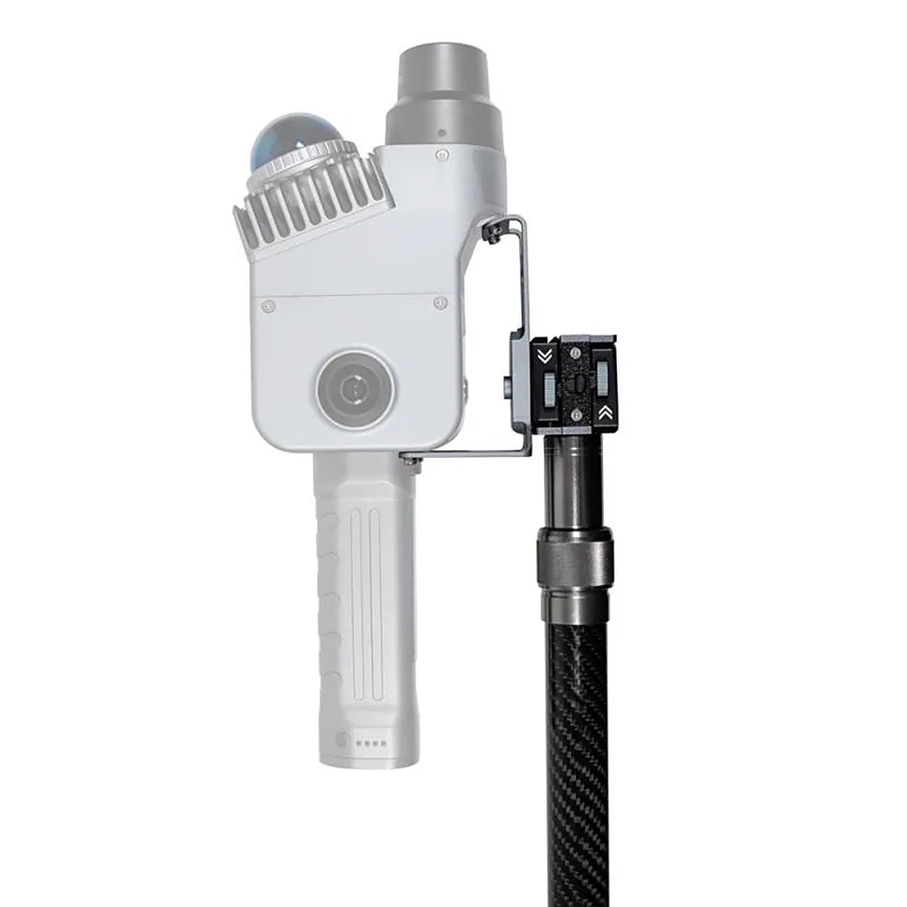
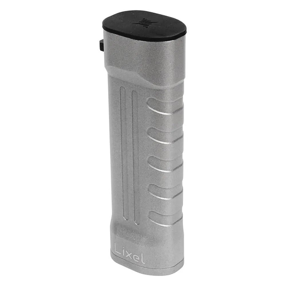
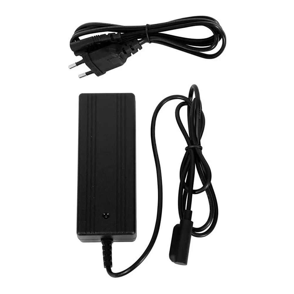
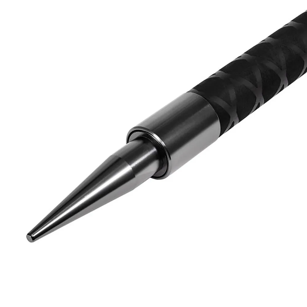
Extend the reach of the lightweight scanner with the extension pole, and keep working at sites far from a power outlet with the spare battery.
Phone Holder · Extension Pole Kit (2 m) · Spare Battery · Charger
Explore Accessories
 4 accessories
PortalCam
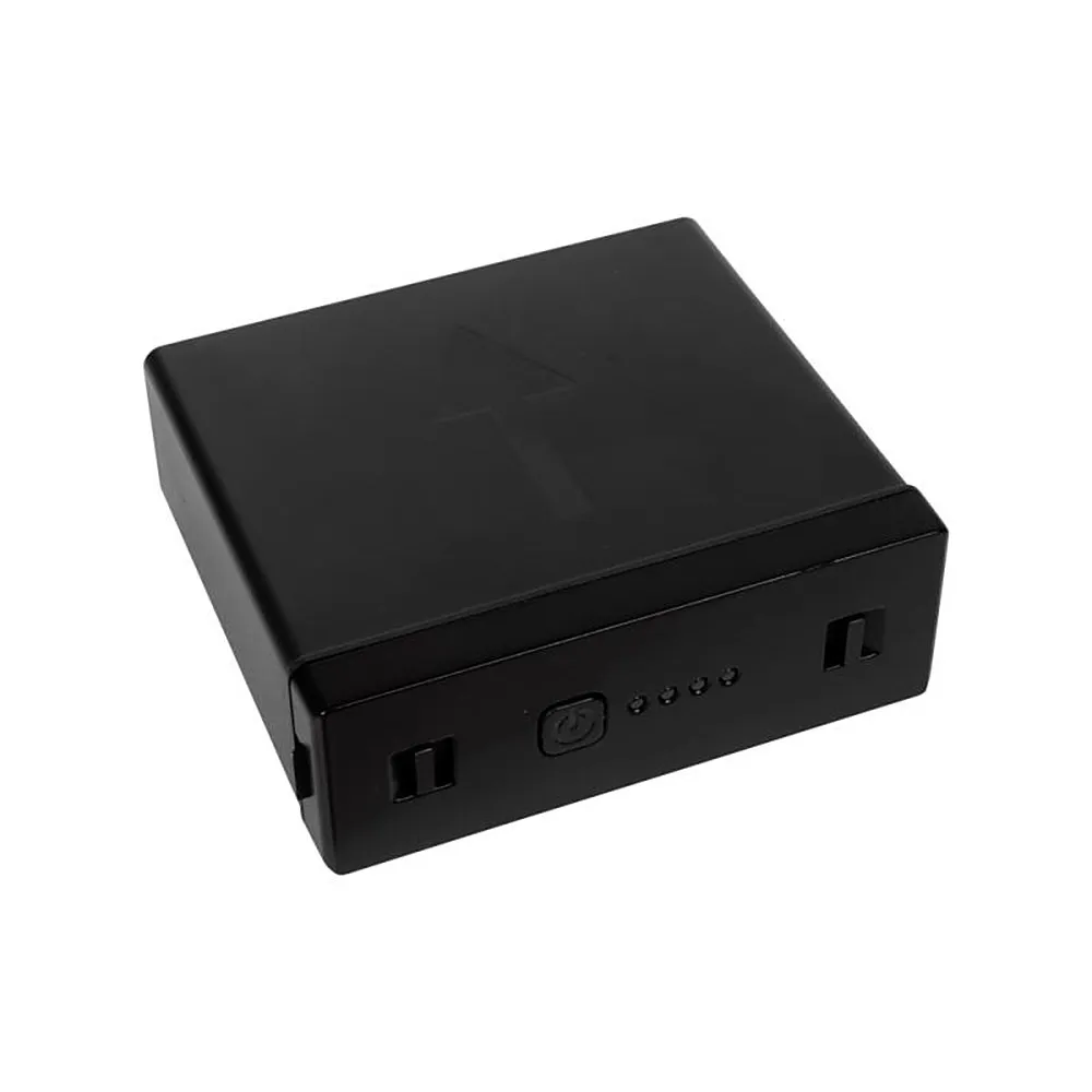
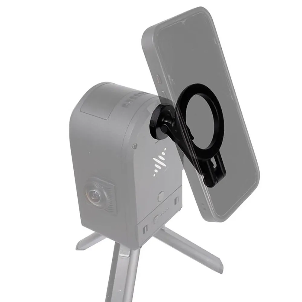
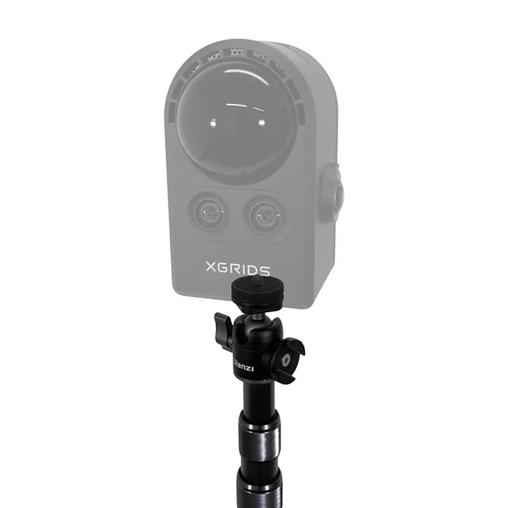
Reach high ceilings and tight spaces with your spatial camera, and extend capture time with a spare battery.
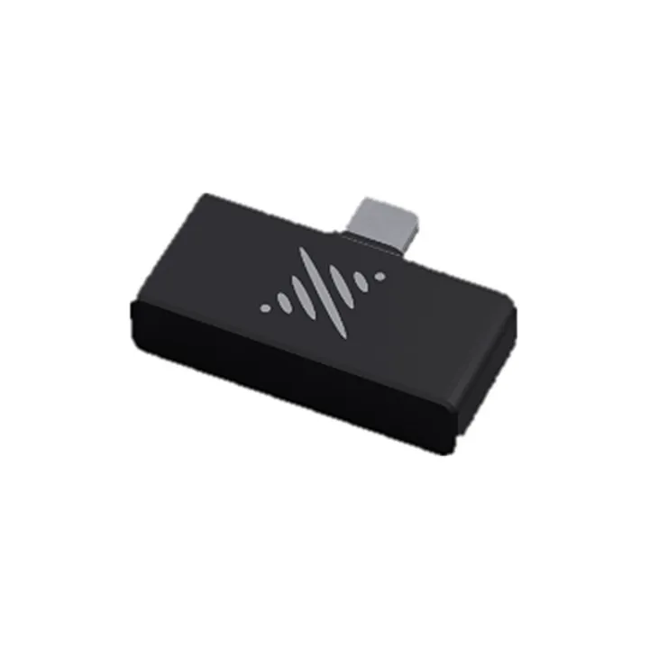
PortalCam Battery · Magnetic Phone Holder · Extension Pole (2 m) · External SSD
Explore Accessories
XGRIDS Türkiye
Let our experts listen to your needs and give an on-site demonstration. Contact us for a demo, sample data and a quote.
+90 216 546 0804

