Skip to content
TREN
Atlıhan Harita

SLAM Scanner

Lixel L3Accuracy Meets Photorealism

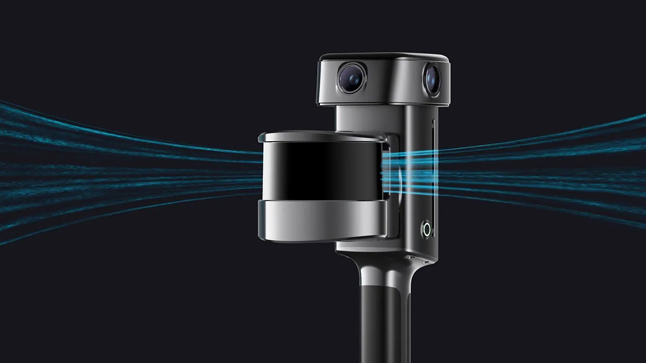
The flagship high-accuracy spatial scanner from XGRIDS. It holds a verified 5 mm relative accuracy and 4K HDR true color, and a single pass produces a point cloud, a mesh, and a 3D Gaussian Splatting model. Scan the site once; use the same data for measurement, modeling, and presentation.

Relative accuracy
5 mm
Absolute accuracy
2 cm
Points/s
320,000 /​ 640,000
Range
120 m

Overview

Measurement, Modeling, and Visualization in One Instrument

Lixel L3 deliverables fit directly into workflows across surveying, architecture, digital twin, and film production. A measurable, true-color record of the site is captured in one pass.

Lixel L3
Lixel L3Accuracy meets photorealism

5 mm

Relative accuracy

Measured in a dedicated test environment, 1σ

4K HDR

Vision system

1/1.3" CMOS

3 output

In a single pass

Point cloud, mesh, and 3DGS

320,000 /​ 640,000

Points/s

16 or 32-channel version; 120 m range, 360° × 270° field of view

RTK

Survey-grade, integrated

GPS, GLONASS, Galileo and BeiDou

4.3"

Integrated display

No phone required; 1,000 nit brightness

1 cm

Real-time accuracy

Data ready to use the moment the scan ends

IP54

Field durability

Operates from -20℃ to 50℃

Technology

Precision Sensing, Integrated in One Instrument

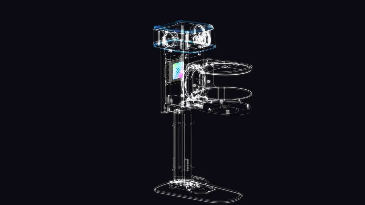
A high-accuracy LiDAR, a true-color vision system, a survey-grade RTK, an IMU, and a display work in one unit. Geometry, color, and positioning are captured at the same time, with a single instrument.

  • High-Precision LiDAR

    • 120 m maximum range
    • Up to 640,000 pts/s
    • 16 / 32 channels, 360° × 270° field of view
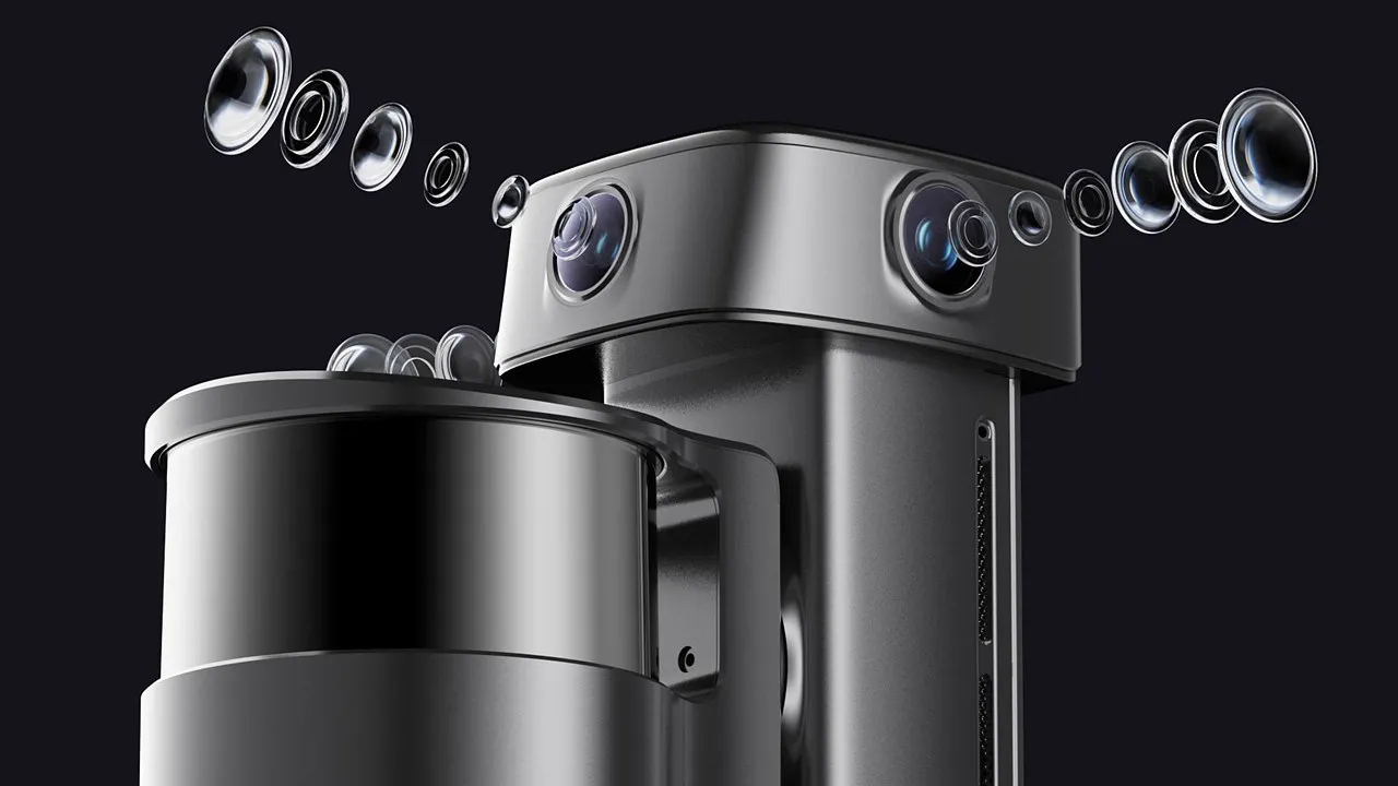
  • Photorealistic True-Color Vision System

    • 1/1.3" CMOS
    • 4K HDR imaging
    • 1 forward camera, 2 panoramic cameras
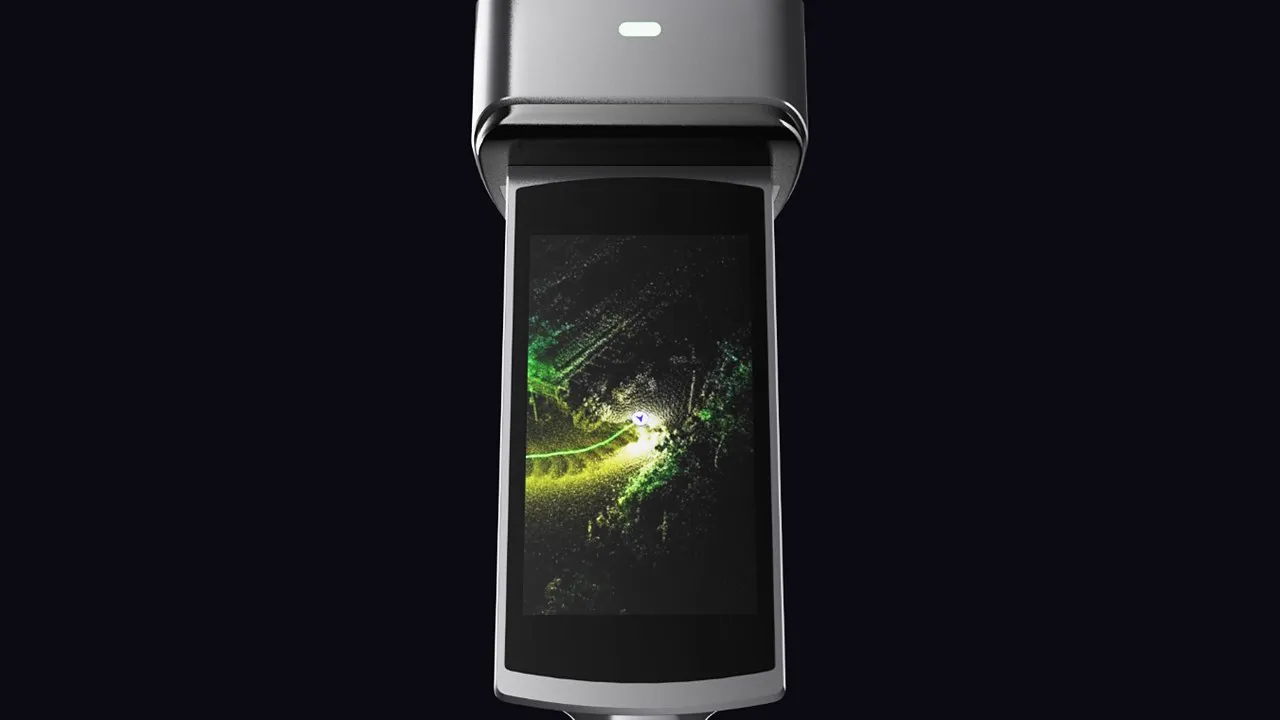
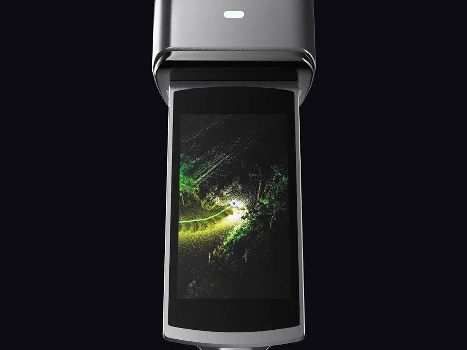
  • Integrated High-Brightness Display

    • 4.3" built-in screen
    • 1,000 nit peak brightness
    • Scan assistance system
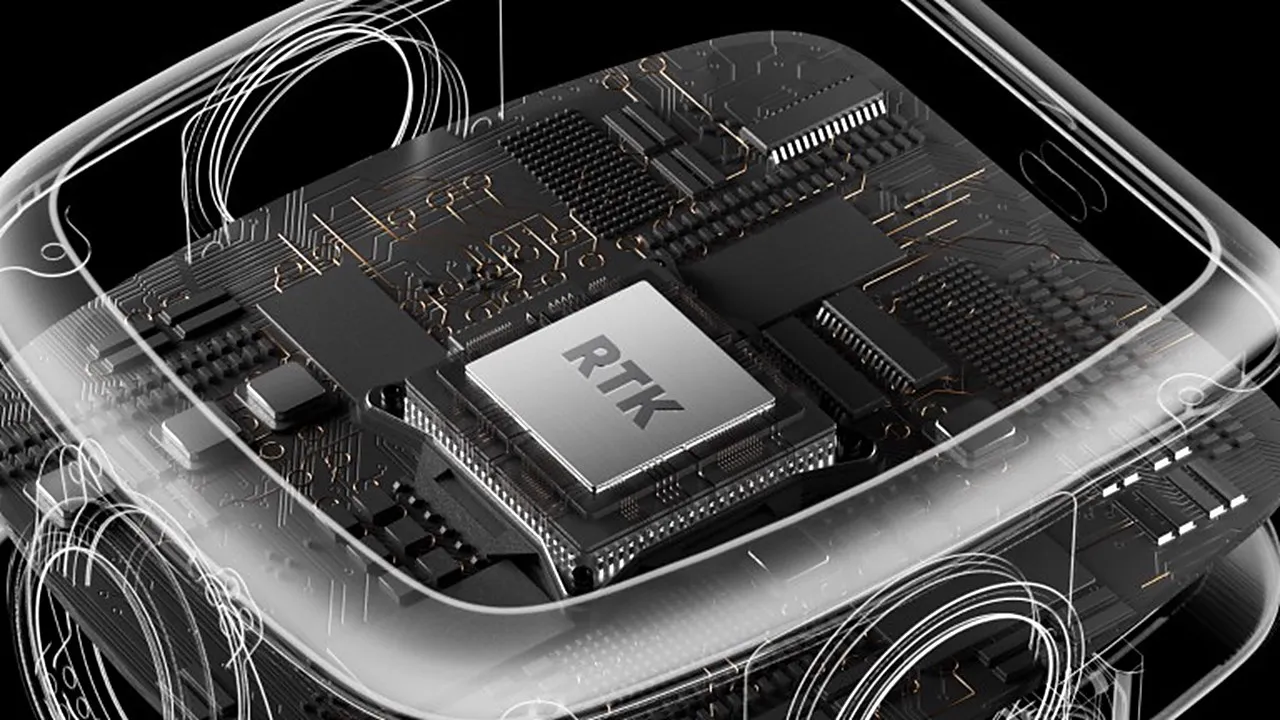
  • Integrated Survey-Grade RTK

    • GPS, GLONASS, Galileo and BeiDou
    • Horizontal 0.8 cm + 1 ppm, vertical 1.5 cm + 1 ppm
    • PPK, iRTK and CORS support
  • High-Precision IMU

    • 0.02° leveling (without RTK)
    • 0.005° leveling (with RTK)
    • Continuous sensing of device attitude and motion

Lixel L3 Specs

01Accuracy

A New Accuracy Benchmark for SLAM

The Lixel L3 is tested by documented methods and verified against measured ground truth. Critical dimensions survive a check and walls come out true. That makes the point cloud a reliable measurement source in surveying and engineering work, not just a picture of the site.

Relative accuracy
5 mm
Absolute accuracy
2 cm
Leveling (with RTK fusion)
0.005°
Point cloud thickness
≤5 mm

Relative accuracy is measured in a designated indoor test environment of approximately 500 m², using a post-processed point cloud captured without ground control points, by comparing distances measured in the point cloud against reference distances established with a total station (P68, ≈1σ). Actual accuracy varies with site geometry, scan path, and environmental conditions.

02True Color

Photorealistic Color, True to the Space

The true-color vision system records color, tonal range, and material detail with photographic fidelity. In low light and high contrast, the output stays clear and identifiable.

  • Accurate Structure, True ColorHigh-accuracy geometry and high-resolution imagery are fused, so measurement, modeling, and client review all work from the same data.
  • Highlights and Shadows, Equally Resolved4K HDR imaging retains detail at both ends of the exposure range, so bright surfaces do not blow out and shadowed areas do not disappear.
  • Low Light, Still LegibleWith less noise and color shift, a cleaner point cloud goes into processing.
  • Key Areas, Enhanced on DemandSelect specific areas for targeted enhancement, so those areas keep more spatial detail while reconstruction time and file size stay under control.

03Challenging Conditions

Complete Data, Whatever the Conditions

Across long continuous captures and through GNSS obstruction and weak texture, the Lixel L3 combines integrated RTK and multi-modal perception to keep modeling stable. Less drift, less layering, usable data from one site visit.

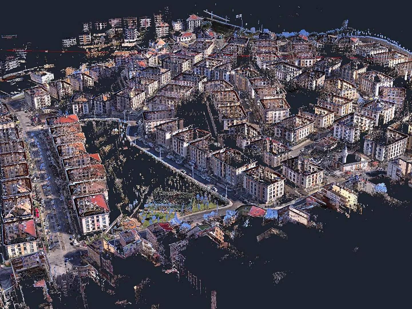
  • Urban CanyonsIn dense built environments where satellite signal is blocked or reflected, positioning is continuously refined, producing data with no misalignment, no layered floors, and an absolute accuracy of 5 cm.
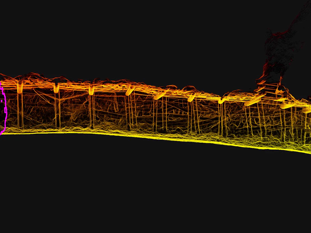
  • Tunnels and GalleriesIn tunnels and galleries where visual texture is thin, geometric features are missing, or structures repeat, the stable SLAM algorithm keeps the point cloud continuous and the structure consistent.
  • Waterside SitesDespite reflective water surfaces, bridge structures, shorelines, and surrounding geometry come through coherently, reducing data gaps and return visits.

04Real-time

Usable Point Clouds the Moment You Stop Scanning

Built on real-time Multi-SLAM processing, the Lixel L3 generates a high-quality true-color point cloud as you scan. Real-time vision-aided localization and dynamic object filtering keep the structure coherent and the data clean, ready for on-site measurement and project review without returning to the office.

Real-time relative accuracy
1 cm
Real-time absolute accuracy
2,5 cm
  • Vision-Aided LocalizationCapture trajectory and attitude are continuously corrected, so large-scene point clouds stay level and structurally continuous.
  • Real-Time AI FilteringPeople, vehicles, and environmental noise are filtered as you scan; the exported cloud needs less manual cleanup.
  • Real-time coordinate conversionReal-time coordinates in WGS84 and CGCS2000.
Unfiltered AI filteredFiltered

05Real-Time Filtering

A Clean Point Cloud the Moment Scanning Ends

The Lixel L3 uses AI to identify and filter people, vehicles, and environmental noise out of the point cloud as you scan, cutting the smearing, ghosting, and redundant data that moving objects leave behind. Moving-object removal and noise filtering run on the device in real time and, together with leveling optimization, improve the continuity, level consistency, and cleanliness of the direct output. The cloud exported the moment the scan ends needs less manual cleanup, and reaches measurement, modeling, and delivery sooner.

06Data Processing

Flexible Processing for Every Project

LixelStudio gives each project more than one route: multi-session captures can be constrained by control points, or matched and fused by region selection with no control points at all.

  • Control-Point-Free Map FusionMatch by region selection in LixelStudio without laying control points in advance. Sessions fuse flexibly, with less time spent on registration.
  • Automatic Privacy ProtectionFaces and license plates in the output are detected and blurred automatically, so results can be shared internally and delivered externally with less exposure.
  • PPK, Volume, and AdjustmentPPK post-processing, stockpile volume calculation and comparison, multi-session fusion and adjustment in a single software.

One Scan, Three Deliverables

The Right Output for Every Deliverable

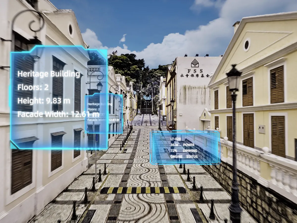
Three deliverables from the same scan and the same source data: a high-accuracy true-color point cloud, a detailed mesh, and a photorealistic 3D Gaussian Splatting model. Measurement, modeling, and visualization deliverables are prepared without additional field work.

  1. True-Color Point Cloud

    Accurate geometry with natural site color, so professional data is easier to read and faster to work with.

    • .las
    • .e57
    • .rcp
    • .ply
  2. Mesh

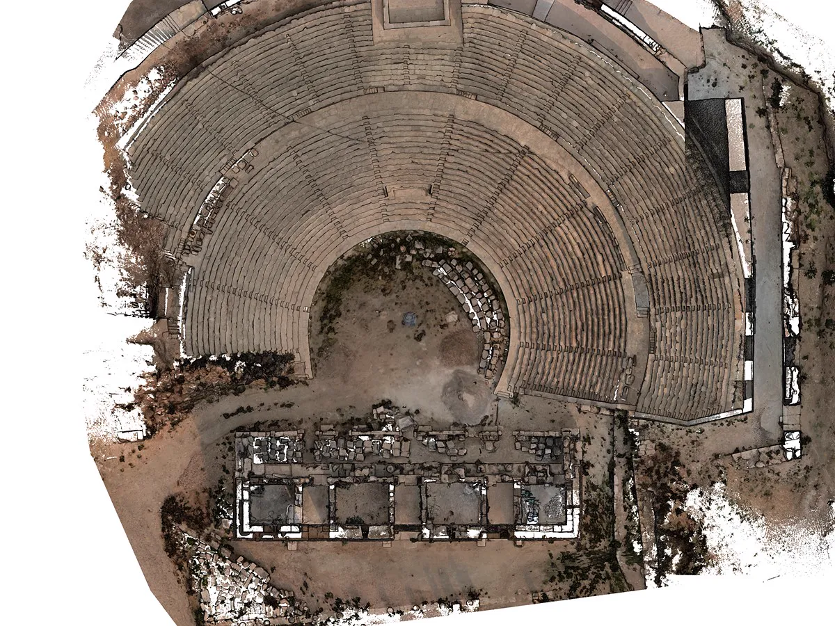
    High-quality imagery gives the mesh dense texture information, resolving material surfaces and structural lines clearly. A complete spatial base for professional modeling, asset records, and downstream 3D applications.

    • .osgb
    • .obj
    • 3D Tiles
  3. 3D Gaussian Splatting

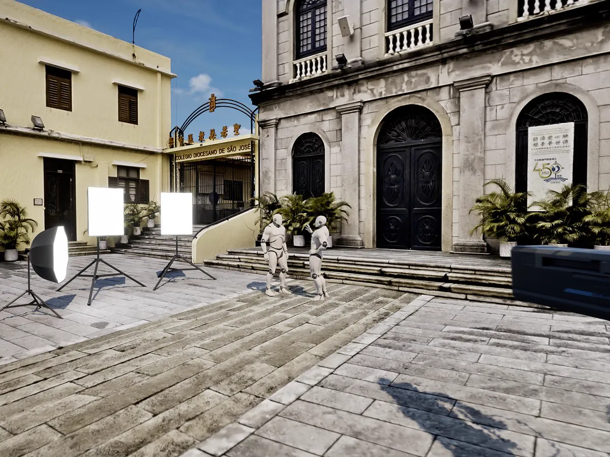
    Lixel CyberColor (LCC) technology carries color, tonal range, and fine spatial detail through with photorealistic fidelity — for digital twins, previs, and virtual production.

    • .lcc2
    • .lcc
    • .ply
    • .usd

In the Field

Field Work, Made Steady

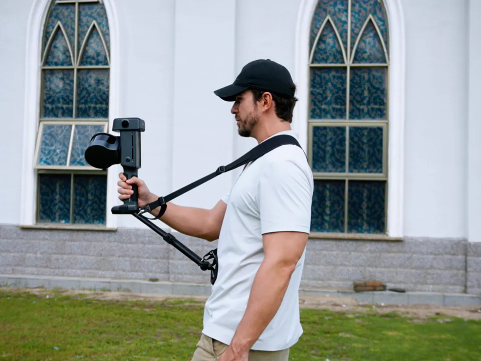
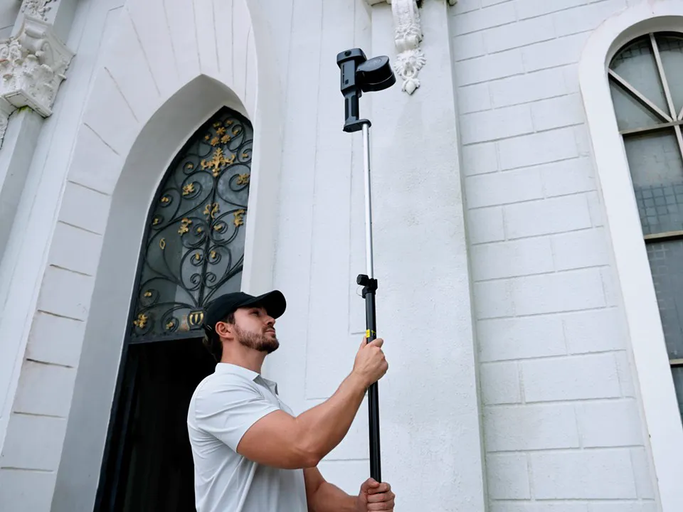
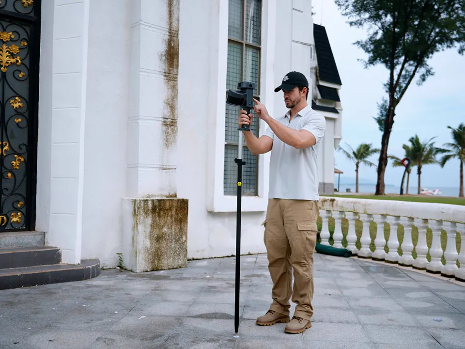
On-screen guidance, standard RTK pole compatibility, and quick-swap battery keep field work continuous; fusion and privacy handling are completed in LixelStudio.

  • Support Strap

    Long field days feel easier

  • Integrated On-Screen System

    Full capture status on one display

  • Standard RTK Pole Compatibility

    Mounts to survey poles you already own

  • Control Point Collection

    Mark points directly from the pole

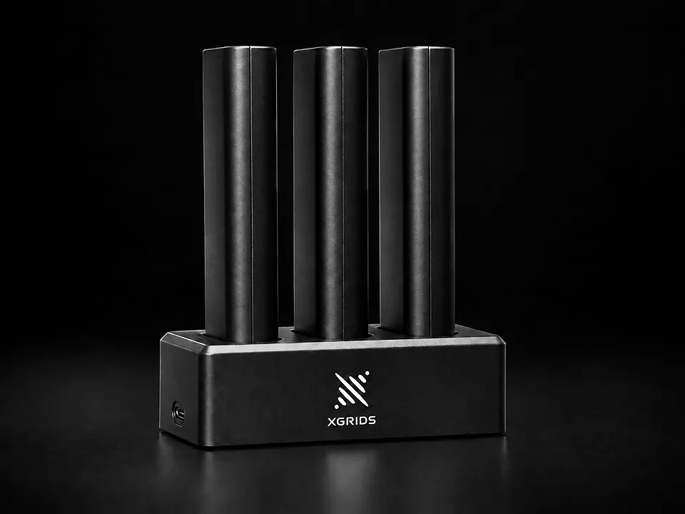
  • Quick-Swap Battery

    Change packs in seconds for continuous capture throughout the day

Applications

From Precise Measurement to Photorealistic Presentation

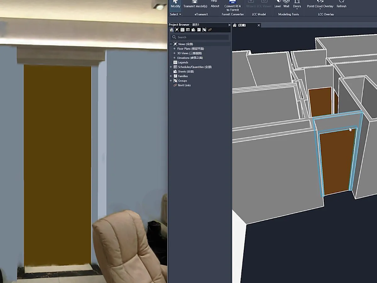
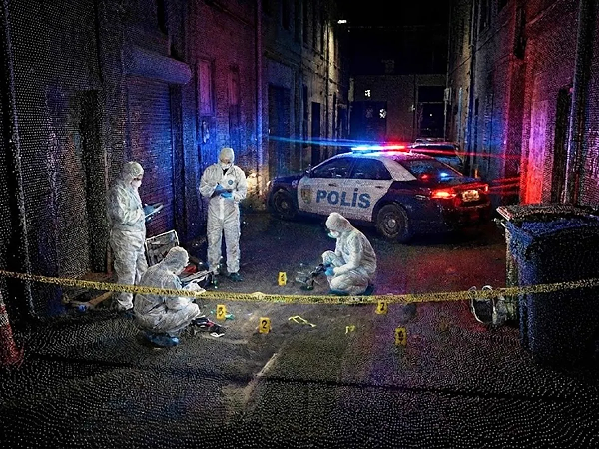
Lixel L3 is built for professional projects that need mobile capture efficiency and high-accuracy 3D deliverables at the same time. The same dataset feeds measurement, CAD, BIM, digital twin, and virtual production workflows.

Specs

Lixel L3 Technical Specifications

Hardware

Model
Lixel L3 (16 / 32-channel)
Dimensions
206mm × 107mm × 329mm
Weight¹
Approx. 2.5 kg
Power consumption
<30 W
Internal storage
UFS 1 TB
Data interface
USB 3.1 Gen2
RTK module
Built-in
WiFi
802.11 a/b/g/n/ac/ax · 2.4 / 5 GHz
Bluetooth
5.2 (2.4 GHz)
Housing
Aluminum alloy
Total operating time
100 min

Accuracy

Post-processed relative accuracy (1σ)²
5 mm (500 m² test env.)
Post-processed point cloud thickness³
≤ 5 mm
Absolute accuracy, horizontal / vertical (RMSE)⁴
2 cm / 2 cm
Repeatability⁴
2 cm
Real-time relative accuracy⁵
1 cm
Real-time absolute accuracy, horizontal / vertical (RMSE)⁶
2.5 cm / 2.5 cm
Leveling (with RTK fusion)⁴
0.005°
Leveling (without RTK fusion)⁷
0.02°

LiDAR Module

Laser class
Class 1 (905 nm)
Range
0.7 – 120 m
Field of view
360° × 270°
Scanning
Mobile
Point rate
320,000 / 640,000 pts/s
LiDAR channels
16 / 32

Operating Environment

Operating temperature
-20 °C to 50 °C
Ingress protection
IP54

Battery

Voltage
14.4 V
Capacity
3,350 mAh

Display

Dimensions
4.3" TFT
Brightness
Up to 1,000 nits
Resolution
480 × 800

Vision Module

Forward camera
1, 100° × 75°
Panoramic cameras
2, 200° × 200°
Camera resolution
4096 × 3072
CMOS sensor size
1/1.3"
Shutter
Rolling shutter
HDR⁸
DCG HDR

Survey-Grade GNSS Module

Signals tracked
BDS B1I, B3I, B1C, B2a, B2b
GPS L1C/A, L1C, L2C, L2P(Y), L5
GLONASS G1, G2, G3
Galileo E1, E5a, E5b, E6
QZSS L1C/A, L1C, L2C, L5, L6
IRNSS L5 · SBAS L1C/A
Accuracy
Horizontal: 0.8 cm + 1 ppm
Vertical: 1.5 cm + 1 ppm
Peak gain
4.0 dBi
Azimuth coverage
360°
Polarization
Right-hand circular (RHCP)

Real-time and On-device Feature

AI dynamic object removal
Supported
AI noise filtering
Supported
True-color point cloud
Supported
Vision-Aided Localization
Supported
Scan assistance system (real-time quality check)
Supported
POI panorama preview
Supported
Model preview and on-model measurement
Supported

Data Processing (LixelStudio)

Local point cloud enhancement
Supported
Control-point-free map fusion
Supported
Stable mapping in low-feature environments
Supported
PPK post-processing
Supported
AI privacy protection
Supported
Point cloud overlay
Supported
LCC (3DGS) single-scene reconstruction
Supported
Mesh reality 3D reconstruction
Supported
Stockpile volume calculation and comparison
Supported
Multi-session fusion and adjustment
Supported

Output Formats

Point cloud
.las .rcp .e57 .ply .ilas
Imagery
.jpg
Mesh
.osgb .obj
3DGS
​.lcc2 .lcc .ply
Other
3D Tiles (.3tz), .usd

Accessories

Base mount
Standard
Charging hub
Standard
Portable hard case with backpack system
Standard
Support rig
Optional
  1. Including battery; other components not included.
  2. Tested in a dedicated 500 m² test environment; accuracy reported at 1σ. For full details on the test environment and accuracy metrics, see the XGRIDS accuracy validation white paper.
  3. Point cloud planar thickness within a 10 m walking path.
  4. Measured under open sky, free of multipath effects, with optimal GNSS geometry and favorable atmospheric conditions.
  5. Measured under laboratory conditions; actual performance may vary.
  6. Measured under open sky, free of multipath effects; real-time coordinate conversion supports WGS84 and CGCS2000 only.
  7. Measured under laboratory conditions in a 2,000 m² scene without RTK fusion.
  8. DCG HDR extends the sensor’s dynamic range, holding detail in both highlights and shadows.

FAQ

Frequently Asked Questions

Which projects is the Lixel L3 built for?

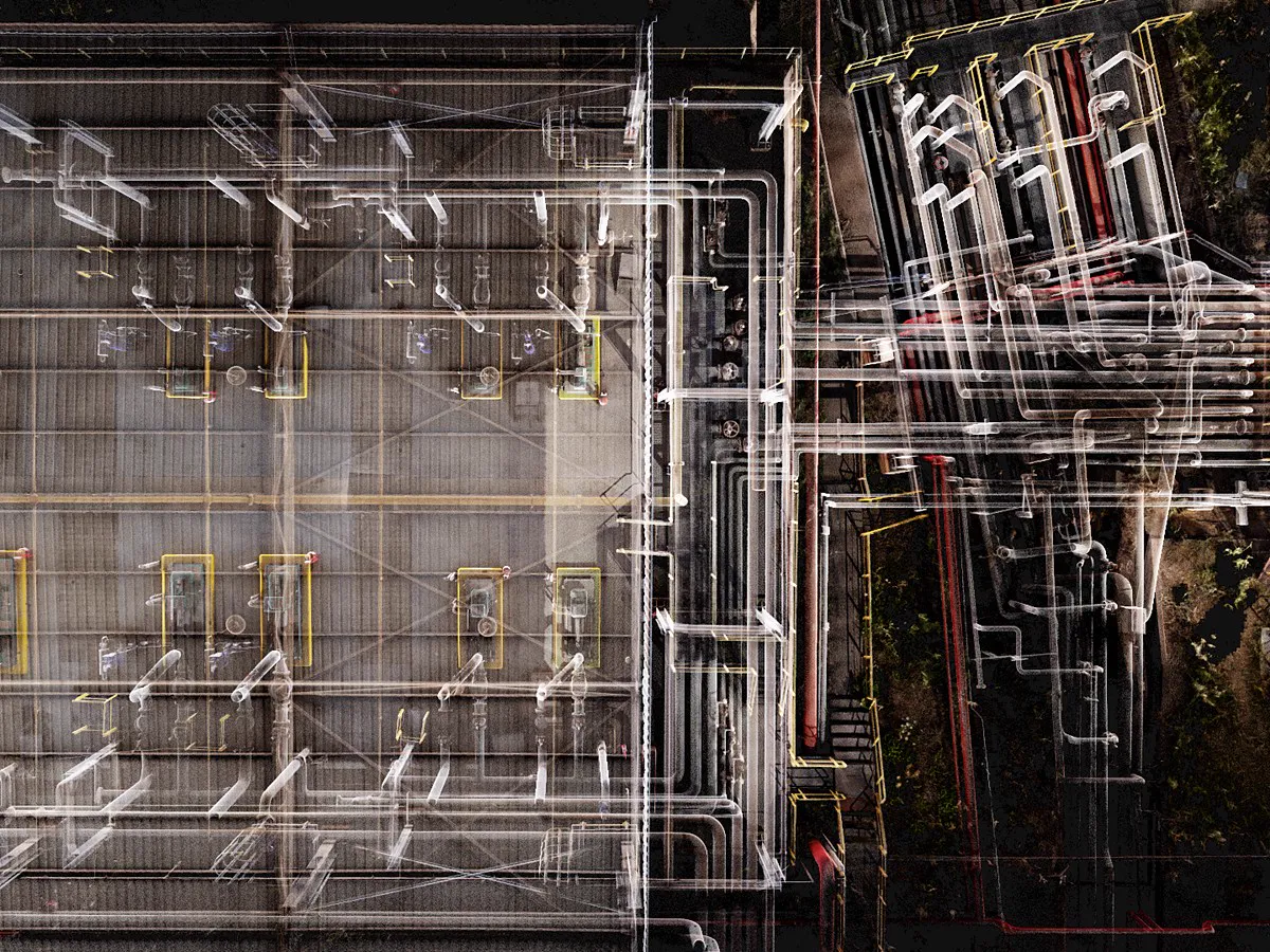
For professional projects that need mobile capture efficiency and high-accuracy 3D deliverables at the same time: building surveys, scan-to-BIM, renovation and extension surveys, as-built surveys, combined indoor–outdoor surveys, tunnels and utility corridors, industrial facility documentation, asset and equipment inventory, and campus and urban block mapping.

A single capture produces a true-color point cloud, a mesh, and a high-fidelity 3DGS model, which also covers applications with demanding visual requirements such as digital twins and virtual production.

What does 5 mm relative accuracy actually mean?

The Lixel L3 achieves a verified 5 mm post-processed relative accuracy. The figure is measured in a designated indoor test environment of approximately 500 m², using a post-processed point cloud captured without ground control points, by comparing distances measured in the point cloud against reference distances established with a total station. Results are reported at P68 (≈1σ).

Actual accuracy varies with site geometry, scan path, and environmental conditions.

Lixel L3 or Lixel K2?

Choose the Lixel L3 for projects that demand high accuracy, large-area capture, and stability in complex environments. It delivers 5 mm relative accuracy and 2 cm absolute accuracy, with further gains in true-color imaging, leveling, real-time point cloud quality, and stability in difficult scenes. It is the right choice for surveying, architecture, and industrial facility projects.

Choose the Lixel K2 for projects that prioritize portability and ease of use. It is light to carry and quick to learn, which fits small- to medium-scale surveying, real estate, film, and cultural heritage work that involves frequent repositioning and fast capture. The Lixel K2 also outputs point cloud, mesh, and 3DGS in a single pass.

How does it perform in complex environments?

The Lixel L3 is optimized for long continuous captures. LiDAR SLAM combined with multi-sensor fusion and leveling optimization reduces accumulated drift over long scans and lowers the risk of point cloud misalignment and layering.

The 1/1.3" CMOS and HDR improve imaging in low light and high-contrast environments. For weak-feature environments such as tunnels and utility corridors, LixelStudio adds stable mapping, further improving reconstruction stability and completeness.

Does it produce usable point clouds in real time?

Yes. The Lixel L3 outputs a usable point cloud during capture, ready to export and measure the moment the scan ends. Leveling optimization, moving-object removal, and noise filtering improve the continuity and cleanliness of the direct output.

Real-time output reaches 1 cm relative accuracy, and 2.5 cm absolute accuracy in both horizontal and vertical, stated as RMSE. Projects that require 5 mm relative accuracy can use the post-processed point cloud.

Does it need to be connected to a phone?

No. The Lixel L3 has a 4.3" high-brightness display and runs the scan independently, with no phone connection required. Point cloud, scan trajectory, and coverage are visible in real time, so missed areas are caught on site and return visits are reduced.

How does it fit into my existing workflow?

Point clouds support measurement, drawing extraction, CAD drafting, and scan-to-BIM. LCC 3D Gaussian Splatting output extends to platforms including Unreal Engine and NVIDIA Isaac Sim. The same dataset feeds workflows from measurement to digital twin and virtual production.


XGRIDS Türkiye

See the Lixel L3 in the Field

Let us plan a demo suited to your project, share sample data, and prepare your quote. Talk to our expert team.

+90 216 546 0804