SLAM Scanner
Lixel L3
Accuracy meets photorealism
Built-in screen, 5 mm relative accuracy, and true color: a colorized point cloud, mesh, and 3DGS model from a single scan.
- relative accuracy
- 5 mm
- range
- 120 m
- pts/s
- 320,000 / 640,000


Official Partner of XGRIDS in Türkiye
Scan sites on foot with Lixel SLAM laser scanners and the PortalCam spatial camera, then use measurable point clouds, meshes and photorealistic 3DGS models in your engineering, architecture and digital twin projects.
Products
Lixel L3 for high-accuracy surveying and true color, Lixel L2 Pro for large and demanding sites, Lixel K2 for light, agile fieldwork, and PortalCam for walkable 3DGS content.
SLAM Scanner
Accuracy meets photorealism
Built-in screen, 5 mm relative accuracy, and true color: a colorized point cloud, mesh, and 3DGS model from a single scan.
SLAM Scanner
Reliable SLAM for challenging environments
Stable scanning in tunnels, metros and underground spaces with the proprietary Multi-SLAM algorithm; one device for handheld, backpack, vehicle and drone use.
SLAM Scanner
Lightweight, engineering-grade handheld scanner
Built-in RTK and three cameras in a body of approx. 1.2 kg; speed and agility for indoor and outdoor surveys.
Spatial Camera
Turns spaces into walkable 3D models
Photorealistic, walkable 3DGS models with a LiDAR and four-camera array; for real estate, cultural heritage, film, games, and XR.
Not sure which device suits your project?
Software
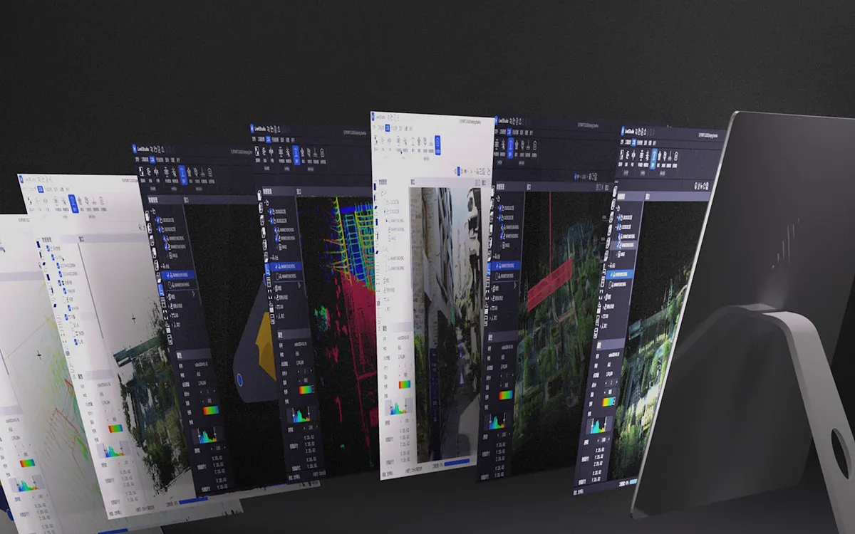
LixelStudio processes the point cloud, Lixel CyberColor generates the 3DGS model, and LCC plugins bring the result into Revit, Unreal Engine and the web: field data becomes a deliverable in one workflow.
Point cloud processing
SLAM solution, map fusion with RTK and ground control points, PPK, quality report, sections, 2D drafting, and volume calculation in a single software.
3DGS production platform
Generate photorealistic 3DGS models from scans locally or in the cloud; edit them and share on scanner, desktop, or mobile.
Scan-to-BIM integration
Open point clouds and 3DGS models directly in Revit; according to XGRIDS, Scan-to-BIM modeling time drops by 70–90%.
Game Engine, Web, and XR
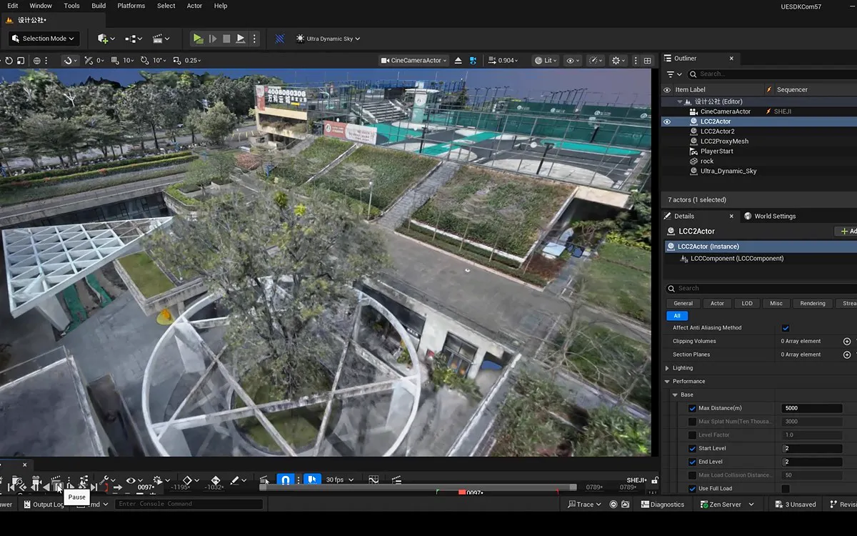
Use billion-scale 3DGS scenes in real time in game engines, on the web, and in XR: virtual production, games, and simulation.
XGRIDS technology is used with technology partners and research institutions worldwide in film, simulation, digital twin and research projects.

















Our Solutions
From mapping to construction, industrial facilities to digital content: devices, software, and workflows for every industry's needs.
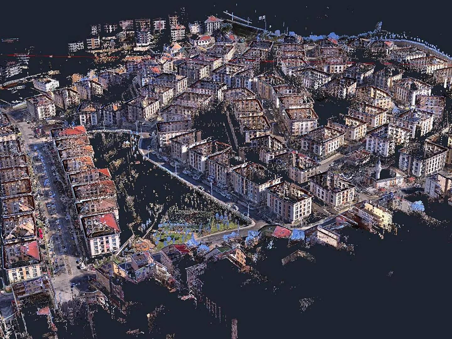 Mapping, Surveying and GIS
Topographic and as-built surveys, mobile LiDAR, and urban digital twins; survey on foot, even where the GNSS signal is weak.
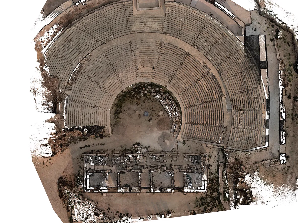 Architectural Survey and Cultural Heritage
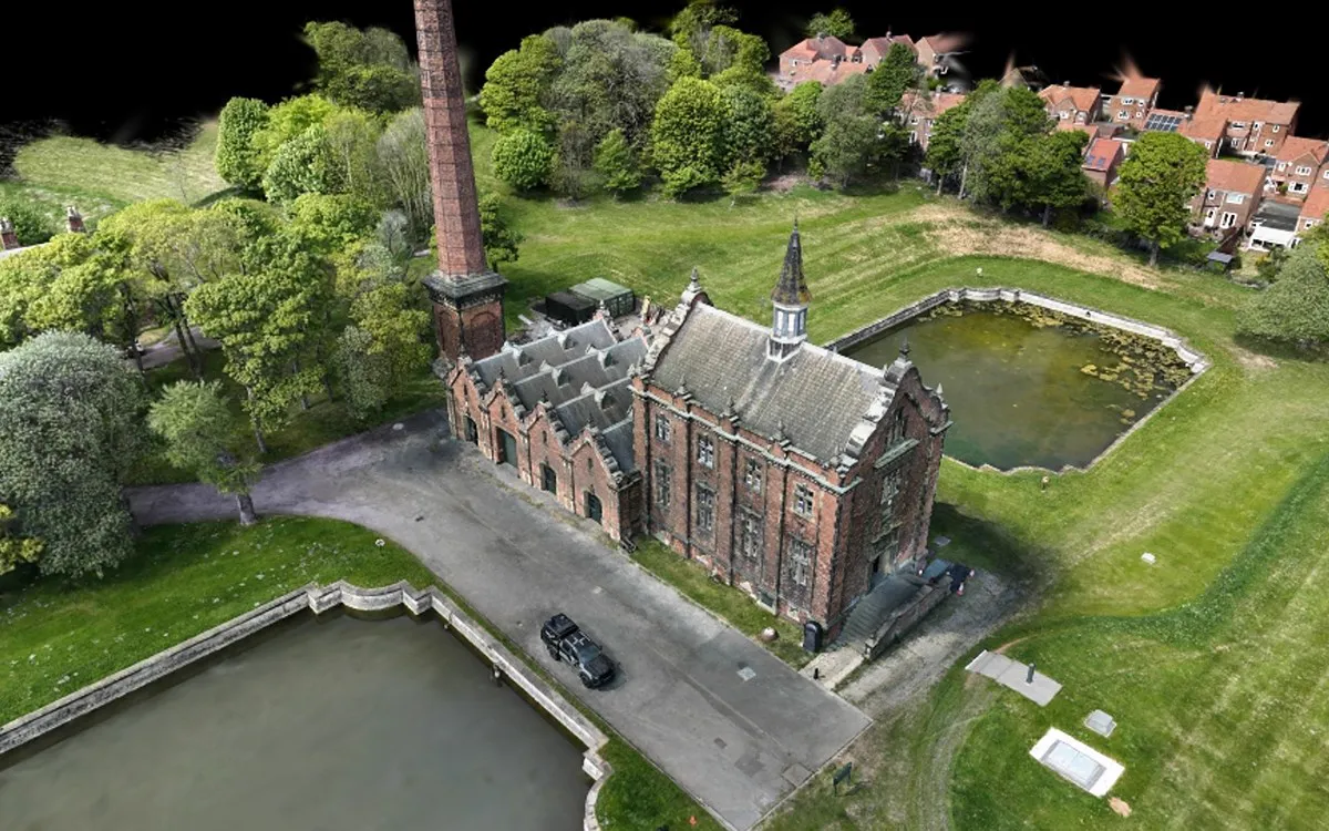
Surveys of historic buildings, museums, and excavation sites: from point cloud to drawing, and a photorealistic digital archive with 3DGS.
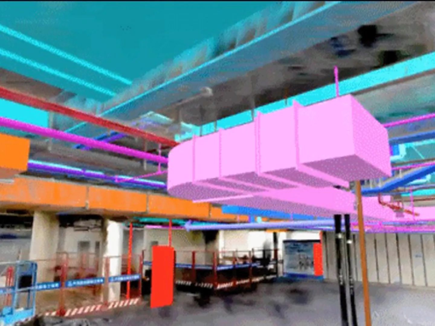 Construction and BIM
As-built surveys, progress tracking, and Scan-to-BIM: bring on-site structures into Revit with point clouds and 3DGS.
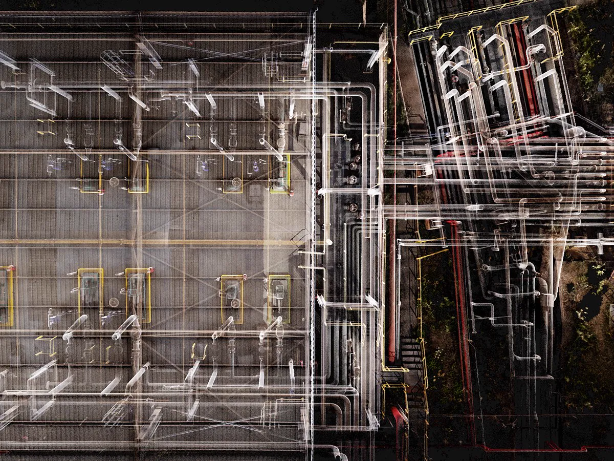 Industrial Facilities and Energy
A measurable digital copy of factories, pipelines, and energy facilities; reverse engineering and layout verification.
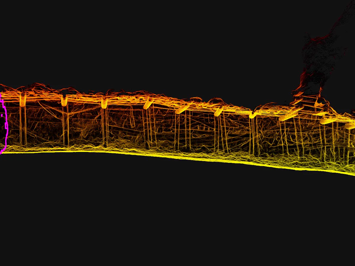 Mining, Forestry and Natural Resources
Stockpile volume, underground galleries, and forest inventory: safe, fast measurement in hazardous areas without satellite signal.
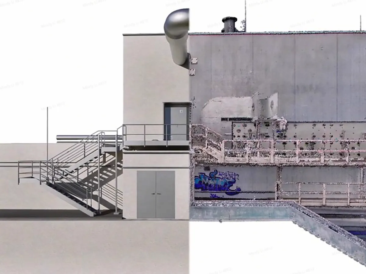 Digital Twin and Facility Management
A measurable digital twin of buildings and facilities; remote inspection, maintenance planning, and sharing from the browser.
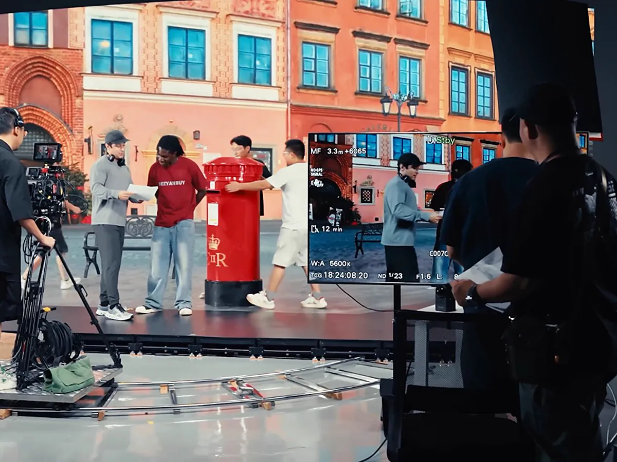 Film, Gaming, XR and Digital Content
Photorealistic 3DGS scenes from the real world for location scouting, virtual production, games, and VR.
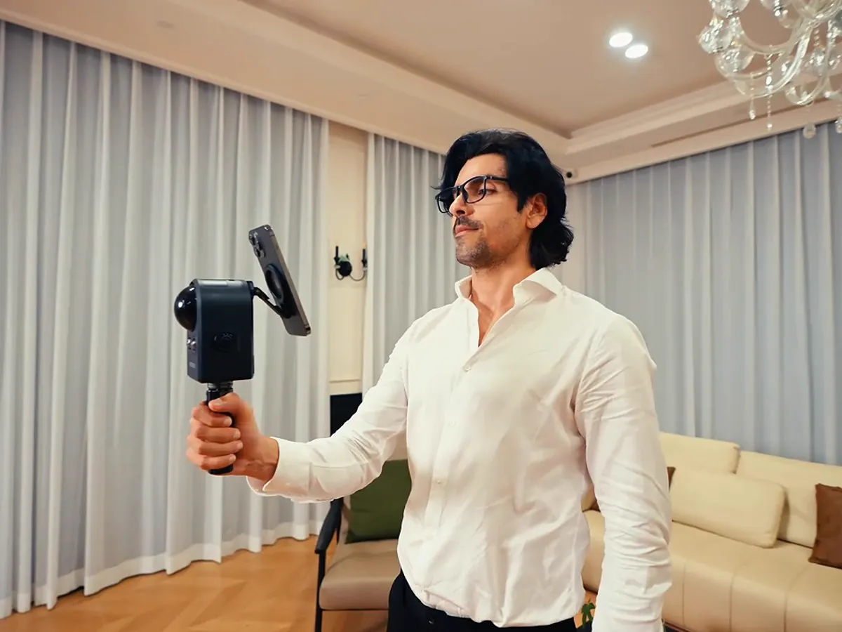 Real Estate, Hotel and Restaurant Virtual Tours
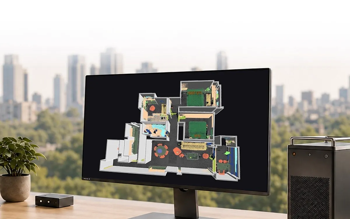
Scan homes, hotels, and restaurants in a single walkthrough; share a photorealistic, measurable 3DGS virtual tour from the browser.
 Defense, Security and Crime Scene Investigation
A measurable 3D record of crime scenes, accident sites, and critical facilities; document the environment quickly without disturbing it.
XGRIDS Türkiye
We digitize physical spaces in high detail and make the resulting 3D data usable in surveying, modeling, analysis and digital twin projects.
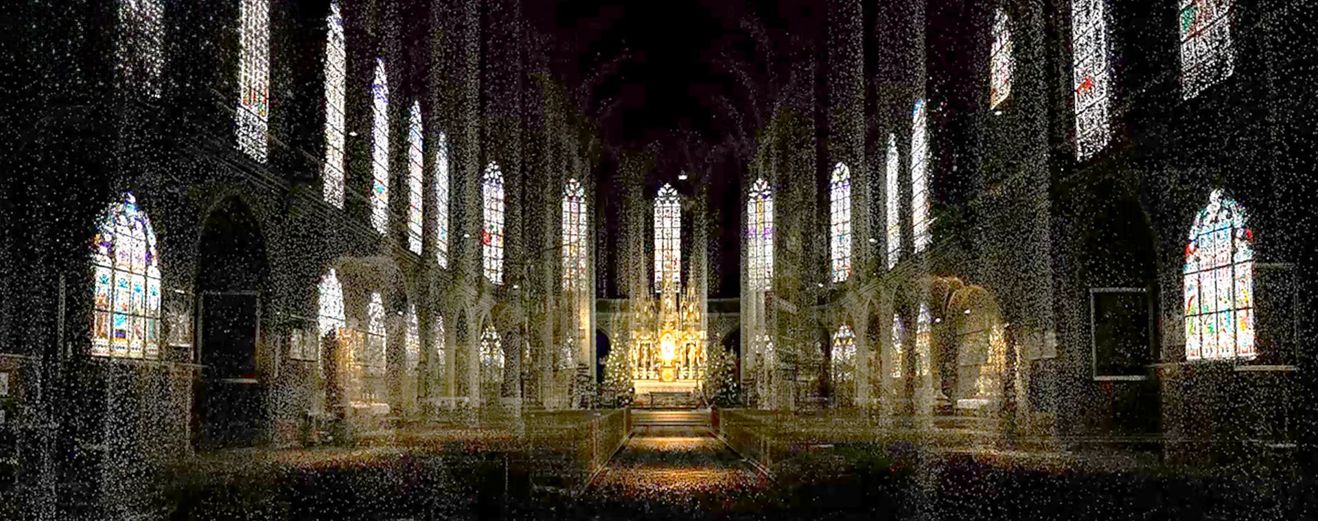
About UsWe bring XGRIDS' innovative 3D scanning, spatial imaging, and digital modeling technologies to professionals in Türkiye, backed by Atlıhan Harita's years of laser scanning, surveying, and spatial data production expertise and field experience.
With Lixel series SLAM scanners, the PortalCam spatial camera, and advanced data processing software, we help turn physical environments into fast, detailed, and realistic digital models. We provide solutions for a range of industries, particularly surveying, architecture, construction, industrial facilities, digital twin applications, and film production.
Our approach goes beyond product supply. With Atlıhan Harita's hands-on experience, we provide customers with technical guidance on technology selection, workflows, and data processing, helping them get the most from their investment. Atlıhan Harita's archaeological documentation project with the Lixel L2 Pro is featured among XGRIDS' official case studies.
XGRIDS Türkiye
Contact our expert team for detailed information, demos, sample data, and quotes.