

Atlıhan Harita Field Work
Demo GalleryXGRIDS in Real-World Sites
Watch the scans the Atlıhan Harita team has carried out with XGRIDS devices at sites across Türkiye: from historic structures to mine galleries, from point clouds to 3DGS models. Visit our YouTube channel for more.
- Real ProjectsFrom cultural heritage, mining, construction and urban sites
- From Site to DeliverablePoint cloud, mesh, 3DGS and as-built map
- On Your SiteRequest a live demo and sample data
Surveying & Mapping
Built-Up Area Scanning and As-Built Map Production with the XGRIDS L2 Pro Mobile LiDAR Kit
Video Archive
Watch by Application Area
Each video shows the on-site scanning process of a project and the resulting point cloud, mesh or 3DGS output. Choose your field and watch the example closest to your work.
Videos from the Field
-
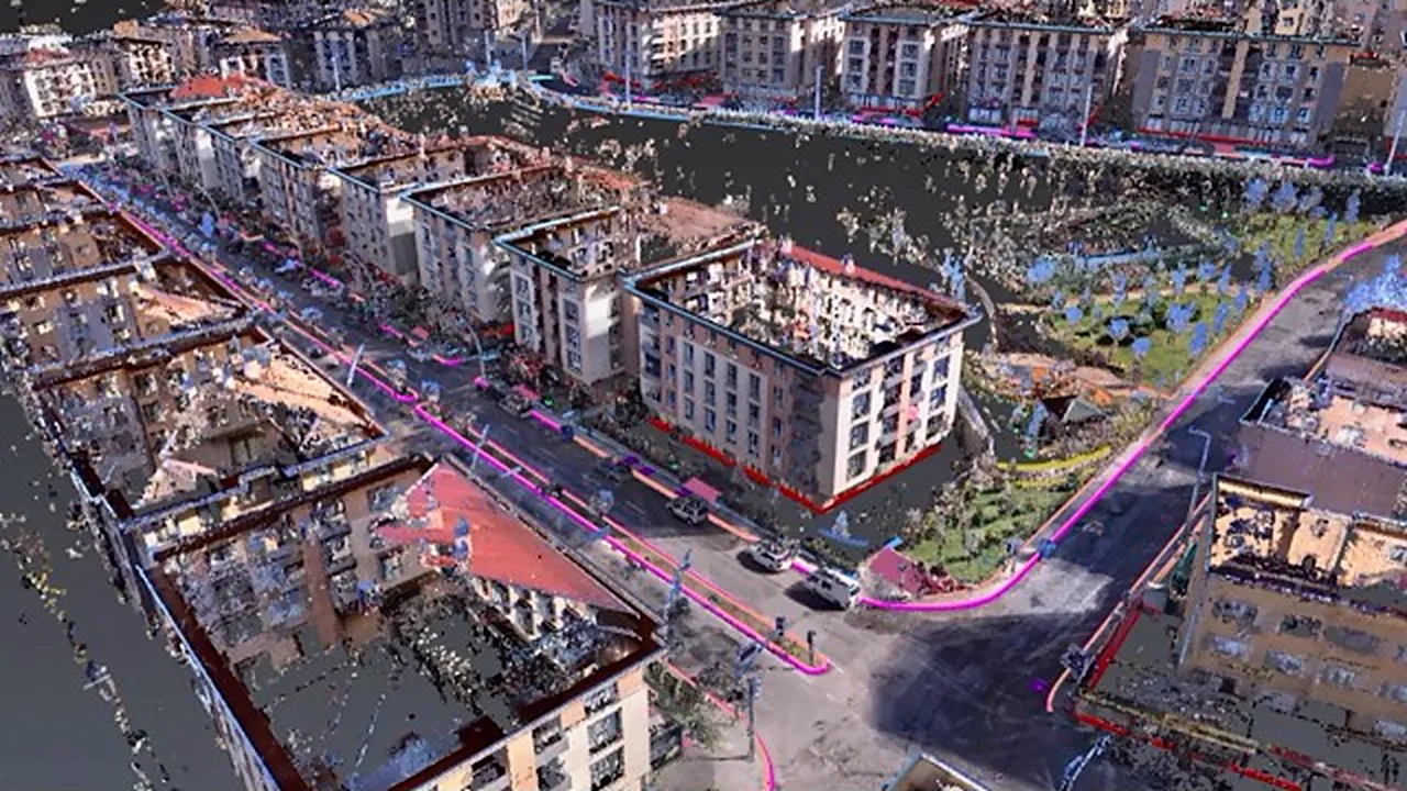 1:27
Surveying & Mapping
Watch the video: Built-Up Area Scanning and As-Built Map Production with the XGRIDS L2 Pro Mobile LiDAR Kit
Lixel L2 Pro
-
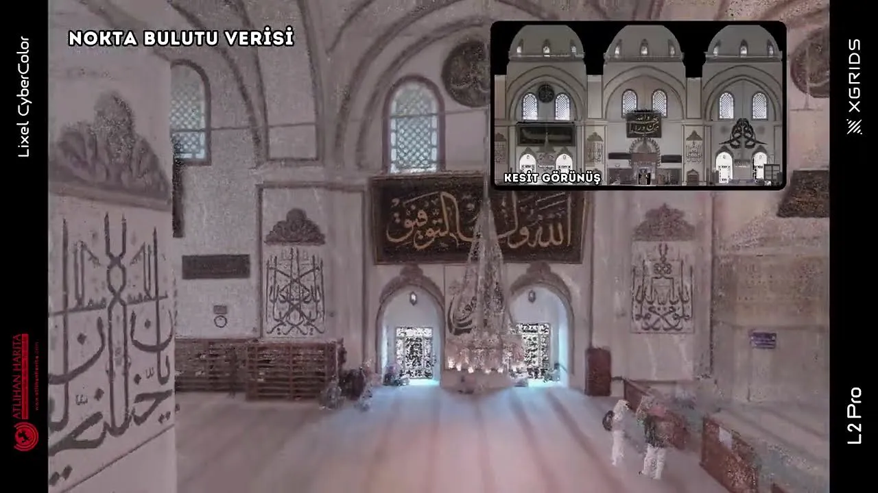 1:31
Architecture & Heritage
Watch the video: 3D Scanning of the Bursa Grand Mosque with the XGRIDS L2 Pro SLAM
Lixel L2 Pro
-
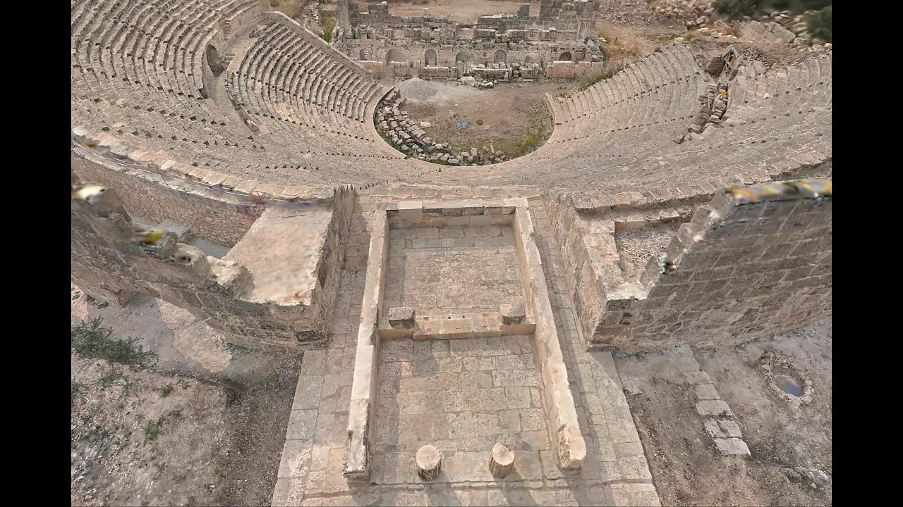 1:56
Architecture & Heritage
Watch the video: 3DGS Model and Digital Twin of an Ancient Theatre with the XGRIDS L2 Pro
Lixel L2 Pro
-
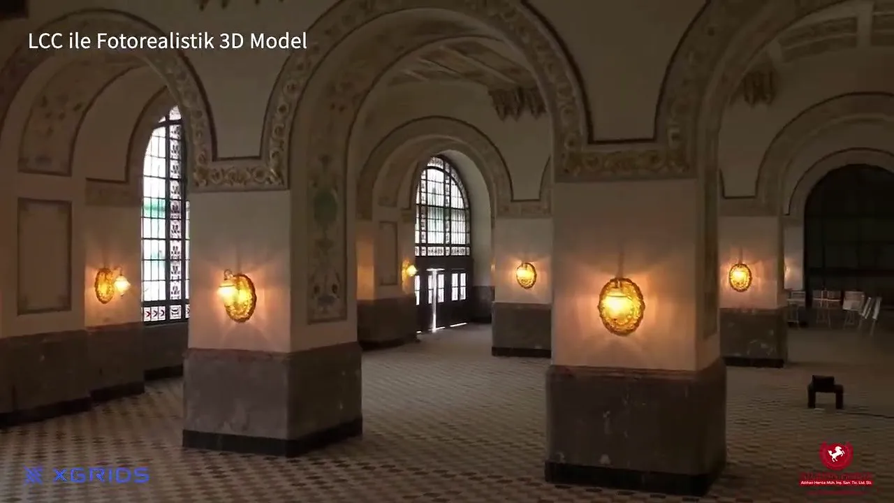 1:20
Architecture & Heritage
Watch the video: 3D Scanning of a Historic Structure with the XGRIDS L2 Pro | LCC 3D Model and Colorized Point Cloud
Lixel L2 Pro
-
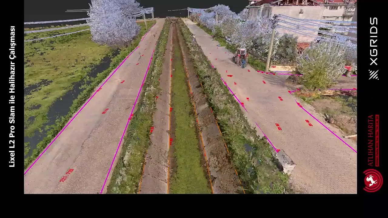 0:55
Surveying & Mapping
Watch the video: 3D Scanning and As-Built Map Production with the XGRIDS L2 Pro
Lixel L2 Pro
-
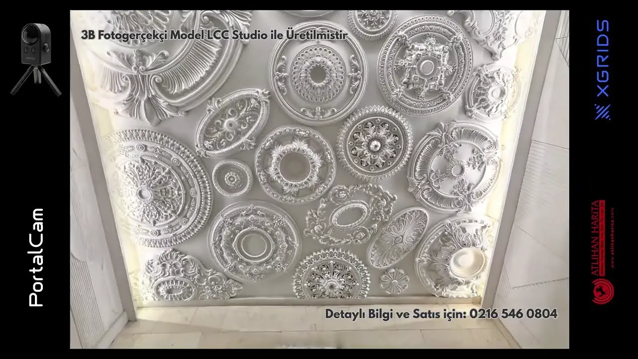 0:30
Watch the video: Bring Your Designs into the Digital World Down to the Finest Detail with PortalCam
PortalCam
-
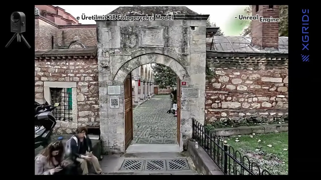 1:29
Architecture & Heritage
Watch the video: Creating a 3D Virtual Tour Model of the Little Hagia Sophia Mosque Surroundings with PortalCam
PortalCam
-
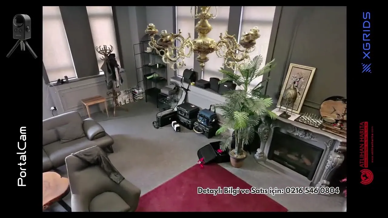 0:45
Watch the video: Creating an Indoor 3DGS Model with PortalCam | Gaussian Splatting
PortalCam
-
 1:16
Mining
Watch the video: 3D Scanning of a Forest Area | Tree Survey
Lixel L2 Pro
-
 1:17
Architecture & Heritage
Watch the video: 3D Scan of an Abandoned Village | Digital Documentation Project
Lixel L2 Pro
-
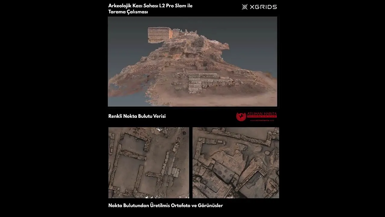 1:38
Architecture & Heritage
Watch the video: 3D Documentation of an Archaeological Excavation Site
Lixel L2 Pro
-
 0:52
Architecture & Heritage
Watch the video: 3D Scanning of Istanbul's Grand Bazaar with the Lixel K2
Lixel K2
-
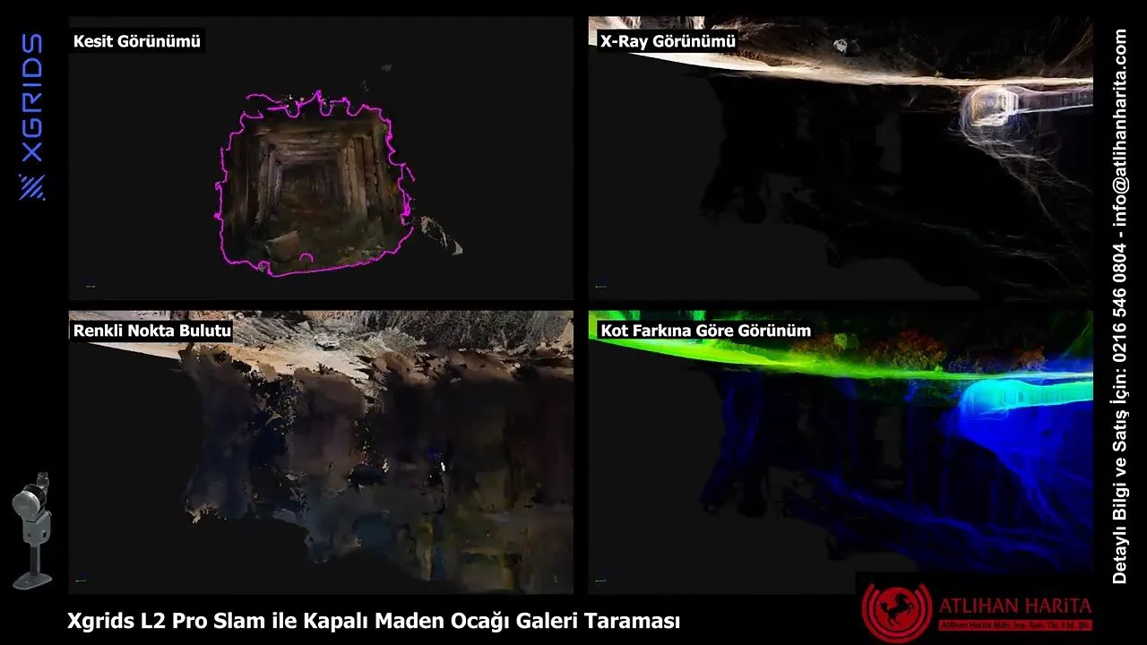 0:47
Mining
Watch the video: 3D Scanning of Mine Galleries with the XGRIDS L2 Pro
Lixel L2 Pro
-
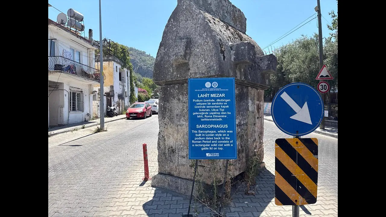 0:26
Architecture & Heritage
Watch the video: Photorealistic 3D Model of a Sarcophagus Tomb
Lixel L2 Pro
-
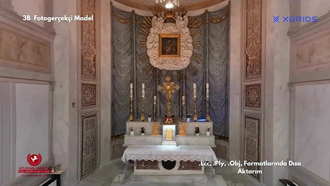 1:23
Architecture & Heritage
Watch the video: Church Survey with the XGRIDS L2 Pro and LCC Software
Lixel L2 Pro
-
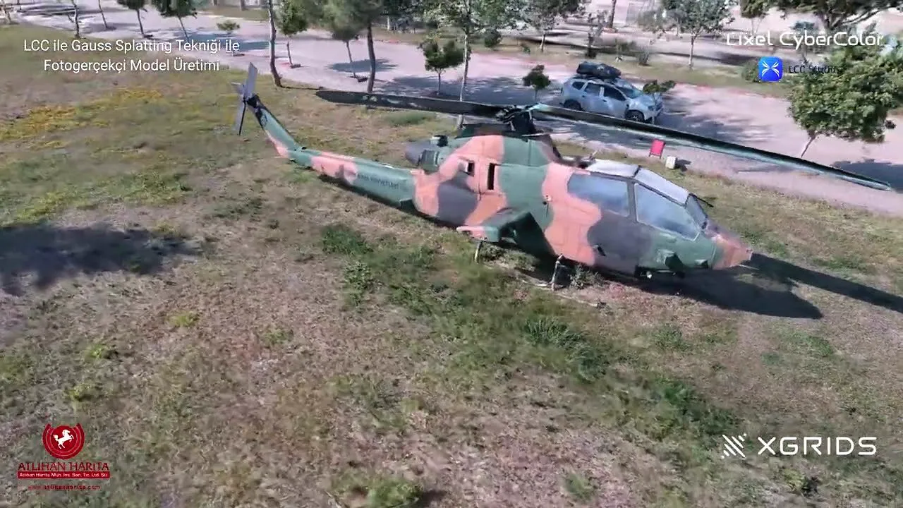 0:38
Security
Watch the video: Creating a 3DGS Model of a Military Helicopter | XGRIDS L2 Pro
Lixel L2 Pro
-
See It on Your Own Site
Let's run a live scan on your site with the XGRIDS device that fits your work; evaluate the result on your own data.
Request a Demo
Short Videos
-
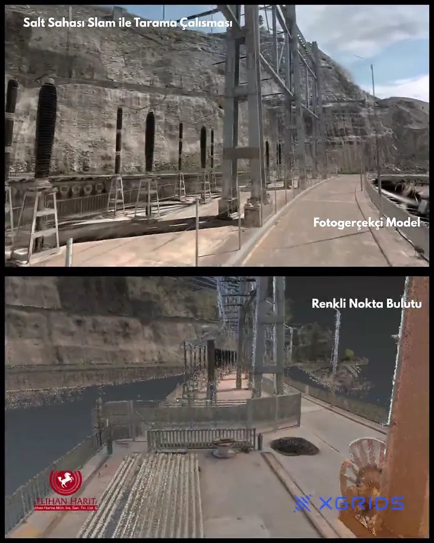 0:41
Industry & Energy
Watch the video: Substation 3D Scanning and Analysis Measurements with the XGRIDS Lixel K2
Lixel K2
-
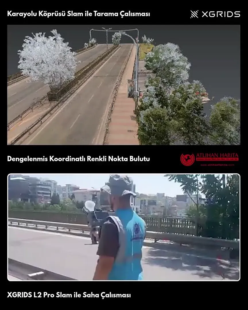 0:48
Construction and BIM
Watch the video: 3D Scanning for a Bridge Survey with the XGRIDS L2 Pro
Lixel L2 Pro
-
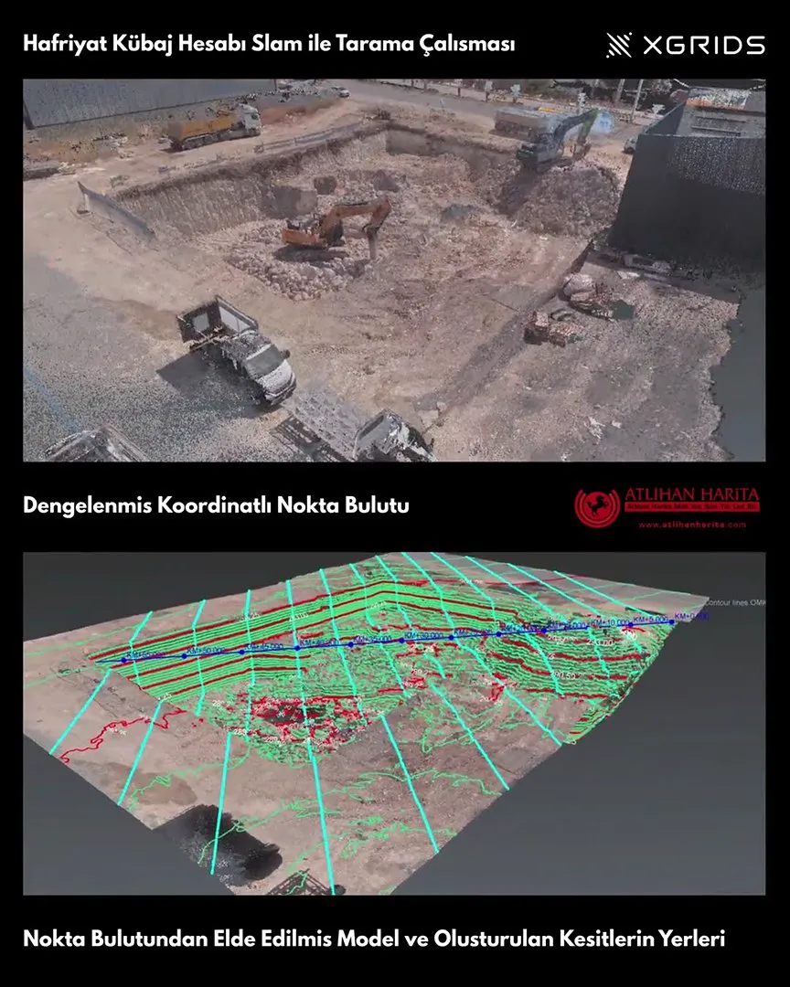 0:57
Construction and BIM
Watch the video: Earthwork Volume Calculation with the XGRIDS L2 Pro | Volume Calculation with 3D Scanning
Lixel L2 Pro
-
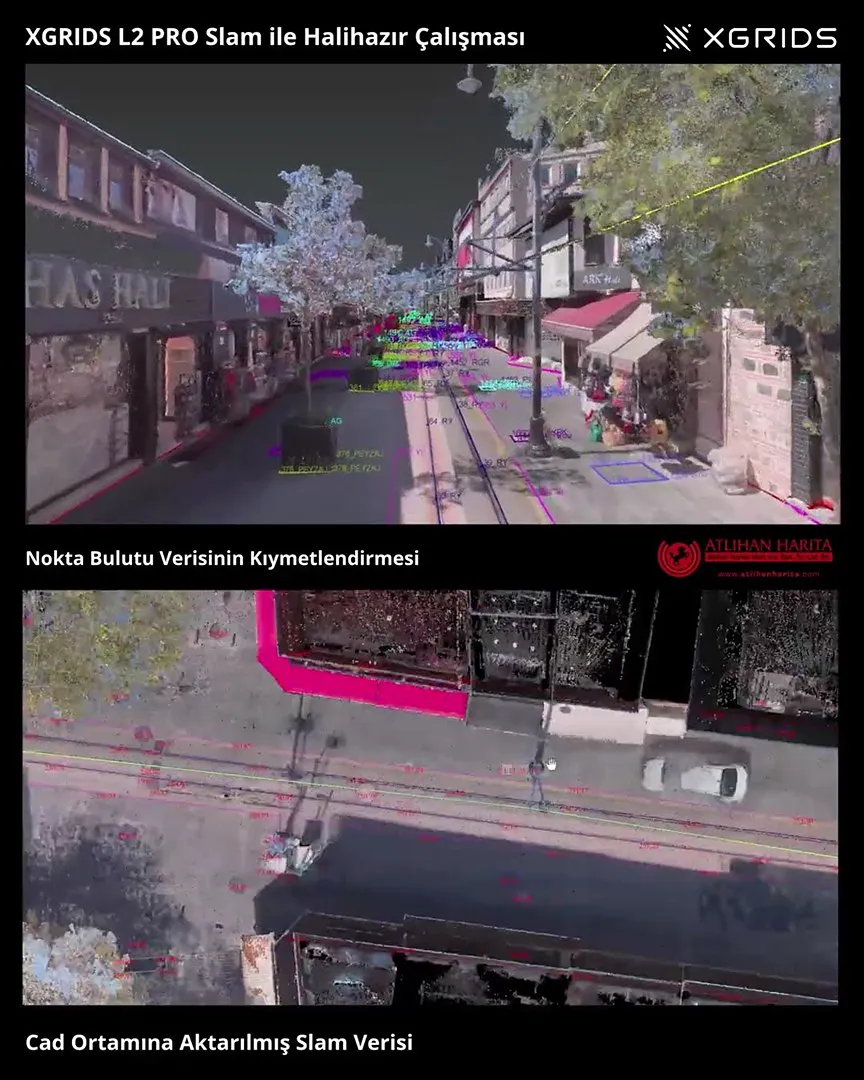 1:20
Surveying & Mapping
Watch the video: Bursa Cumhuriyet Street: As-Built Map Production from SLAM Scan Data
Lixel L2 Pro
-
 1:00
Architecture & Heritage
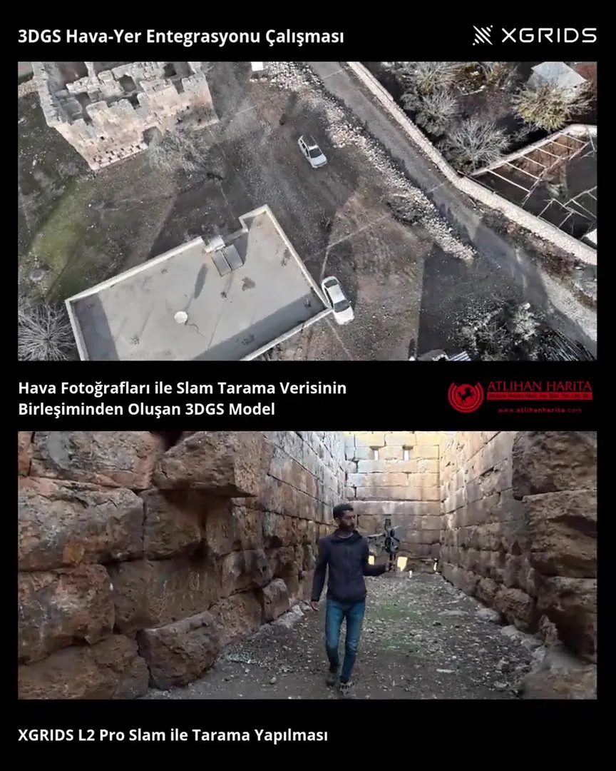
Watch the video: 3D Scanning of a Historic Tower with the XGRIDS L2 Pro | 3DGS Modeling with Aerial Photos
Lixel L2 Pro
-
 0:50
Construction and BIM
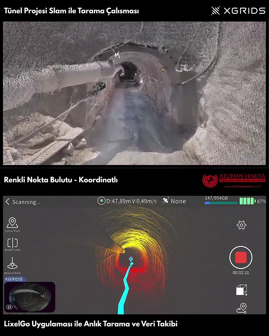
Watch the video: Tunnel Scanning and Photorealistic Model Production with the XGRIDS L2 Pro SLAM
Lixel L2 Pro
-
New Videos on YouTube
Follow our channel for short videos from the field and new projects.
Subscribe to the Channel (opens in a new tab)
Videos play in YouTube's enhanced privacy mode: the page does not connect to YouTube until you press the play button. Atlıhan Harita YouTube Channel
XGRIDS Türkiye
Let's Scan Your Site Together
See the workflow in the videos on your own project. Atlıhan Harita experts run a live demo on your site with the right XGRIDS device and share sample data with you.
+90 216 546 0804


