Skip to content
TREN
Atlıhan Harita

SLAM Scanner

Lixel L2 ProReliable SLAM for Complex Environments

Lixel L2 Pro combines LiDAR, visual, and IMU modules with AI and the exclusive Multi-SLAM algorithm. With a range of up to 300 m and handheld, backpack, vehicle, and drone mount options, a single device covers large areas. It also ensures stable mapping in degraded environments such as tunnels, subways, and underground areas where satellite signals are limited.

Relative accuracy
1 cm
Real-time absolute accuracy
3 cm
Points/s
320,000 /​ 640,000
Range
120/​300 m

Overview

Real-Time 3D Data on Every Platform

Handheld, in a backpack, on a vehicle, or on a drone: Lixel L2 Pro adapts to projects of different scales with a single device. Complex environments no longer stand in the way of data collection.

Lixel L2 Pro
Lixel L2 ProReliable SLAM for challenging environments

1 cm

Relative accuracy

Post-processed (RMSE)

3 cm

Real-time accuracy

Absolute horizontal and vertical, with no waiting

1 mm

Point spacing

1 million points/m² with LixelUpSample™

5 mm

Point cloud thickness

High precision in line drawing and mapping

3 output

In a single pass

Point cloud, mesh, and 3DGS

320,000 /​ 640,000

Points/s

16- or 32-channel version; 360° × 270° FOV

3 model

Version Options

16- or 32-channel LiDAR; 120 m or 300 m range

RTK

Standard and Survey Grade

PPK, iRTK and CORS support

Technology

Fully Integrated Hardware, Joint Optimization

The LiDAR, dual 48MP panoramic cameras, and high-precision 6DOF IMU are tuned to work together through Multi-SLAM joint optimization. Data from all sensors is solved together, delivering a consistent point cloud even at complex sites.

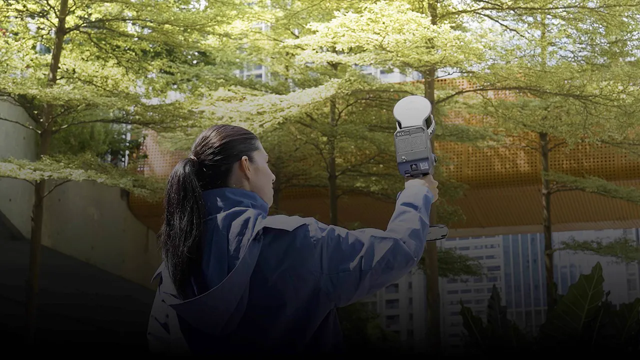
Operator scanning a wooded area with the Lixel L2 Pro
  • LiDAR

    • 16 or 32 channels
    • 0.5–120 m / 0.5–300 m range
    • 320,000 / 640,000 pts/s
  • Dual 48MP Panoramic Camera

    • 2 × 48MP, 190° × 190° FOV
    • Panoramic images up to 56MP
    • No external cameras needed
  • High-Precision 6DOF IMU

    • 6-degree-of-freedom motion measurement
    • 0.015° horizontality (with RTK)
  • Multi-SLAM Joint Optimization

    • LiDAR, visual, and IMU data solved together
    • Visual positioning with a global shutter camera

Lixel L2 Pro Specs

01Real-time

Usable Data with No Waiting for Post-Processing

Lixel L2 Pro generates the point cloud during scanning; the real-time point cloud and coloring rival post-processed quality. The data is instantly ready for use, so you move on with your project without waiting for processing.

Relative AccuracyPost-processed
1 cm
Relative AccuracyReal-time output
2 cm
Absolute Horizontal / Vertical AccuracyReal-time output
3 cm

Real-time data with absolute coordinates: WGS84 and CGCS2000 supported.
Relative: distance between two points < 100 m; real-time absolute: RTK disconnection < 100 m (RMSE).
02LixelUpSample™

Dense Point Clouds, Sharp Detail

The LixelUpSample™ algorithm generates dense point clouds with 1 million points/m² at 1mm spacing, capturing every detail with precision. 5mm point cloud thickness enables more accurate mapping and line drawing. Ultra-high coloring accuracy produces photo-quality color point clouds.

Point spacing
1 mm
Point cloud thickness
5 mm

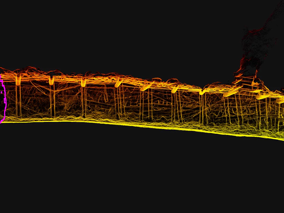
Point cloud thickness within 10 m of the walking path.

03Multi-SLAM

Stable Even in Areas Without Satellite Signals

The exclusive Multi-SLAM algorithm enhances adaptability and reliability in challenging environments. Even in satellite-signal-limited, low-texture areas, data stays continuous and stable.

  • Absolute coordinates through signal outagesWhen entering indoor or underground areas, absolute coordinates continue as long as the RTK outage does not exceed 100 m; over longer stretches, absolute referencing is established with ground control points.
  • Stable mapping in repetitive environmentsStable data in repetitive, low-texture areas such as subways, tunnels, and galleries.

04Workflow

A Simple Workflow Managed from Your Phone

With the LixelGO mobile app, all operations are managed from a single screen: RTK setting, walking speed, distance covered, and device control. Camera images, elevation information, and true-color point clouds are viewed in real time during scanning.

  • Precision Verification ReportThe quality of every scan is documented in a report.
  • Direct Phone ConnectionReal-time data preview and device status at a glance.
  • One-Click GCP MarkingControl points are marked quickly in the field.
  • Live Status MonitoringBattery power, memory, network, range, walking speed and measured length.

Usage Options

Handheld, Backpack, Vehicle, Aerial

With mounting options and accessories, use the same scanner handheld, in a backpack, on a vehicle and on a drone.

  • L2 Pro Extension Pole

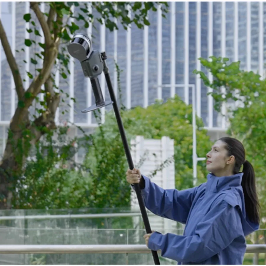
    With the 2m extension pole, the scanner is raised high so that tall and hard-to-reach areas can be scanned from the ground.

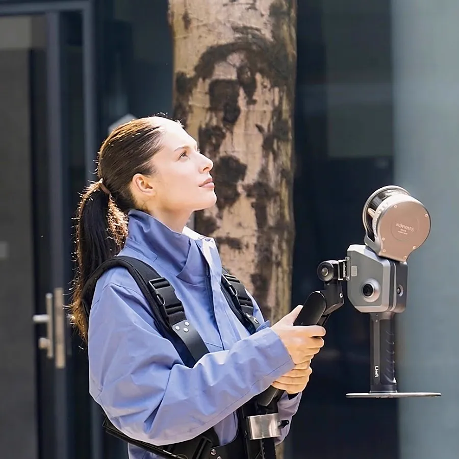
  • Supporting Harness

    The backpack with stabilizing arm (60cm×60cm×15cm, 2.5kg) supports the device and provides comfort during long scans.

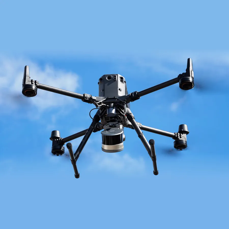
  • Drone Kit

    Compatible only with DJI M300 and M350; aerial LiDAR scanning. Flight altitude: recommended 30m, maximum 50m.

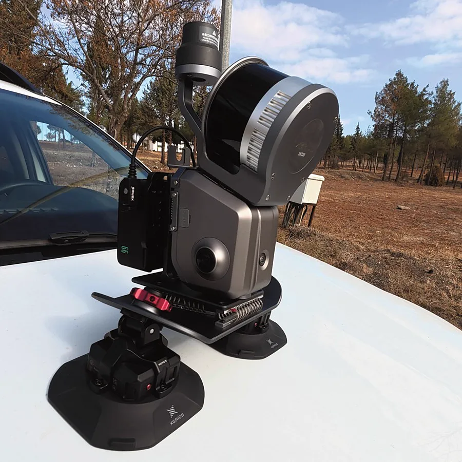
  • Vehicle Kit – Mobile LiDAR

    Scanning along the route with a vehicle mount. Recommended speed: 20-30km/h, maximum speed: 40km/h.

Applications

Different Industries, One Scanner

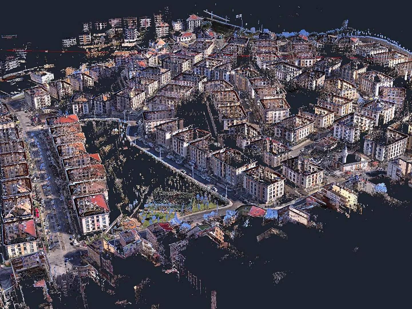
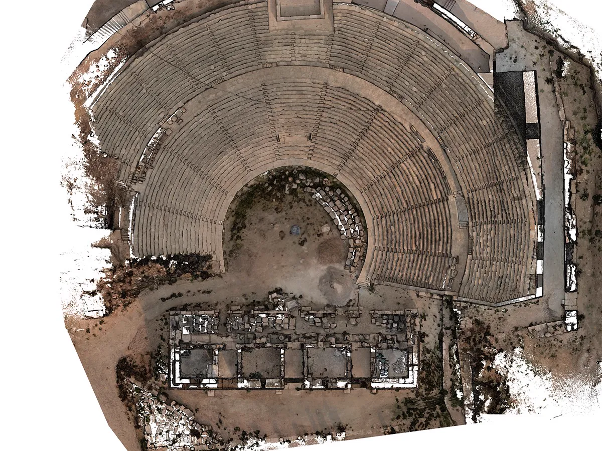
From topographic mapping to mining, from crime scene investigation to film production: the applications where Lixel L2 Pro stands out.

Specs

Lixel L2 Pro Specifications

LiDAR

Range
0.5m-120m / 0.5m-300m
Scanning Frequency
320,000 / 640,000 pts/s
Laser class
Class 1 / 905nm
Field of view
360° × 270°

Post-Processed Accuracy

Absolute Vertical / Horizontal Accuracy¹
3cm / 3cm
Relative Accuracy (RMSE)²
1 cm
Repeat Accuracy (RMSE)³
2 cm
Point Cloud Thickness⁴
0.5cm
Horizontality (with RTK)⁵
0.015°
Verticality
0.03°

Real-time Accuracy

Absolute Vertical Accuracy (RMSE)⁵
3cm
Absolute Horizontal Accuracy (RMSE)⁵
3cm
Relative Accuracy (RMSE)²
2 cm

System Parameters

Weight
1.7kg
Size⁶
180mm × 130mm × 400mm
Storage
1T SSD
Data interface
USB 3.1 Gen2
Housing
Industrial-grade Aluminium
Continuous Operation Time
1.5h
Power consumption
<30 W
Wireless
Wi-Fi 802.11a/b/g/n/ac (2.4 / 5 GHz), Bluetooth

Operating Environment

Operating temperature
-20 °C to 50 °C
Ingress protection
IP54

Functions

Vision-Aided Localization
Supported
Real-time RTK Fusion
Supported
Real-time Coloring
Supported
LixelUpSample™
Supported

Panoramic Camera

Resolution
2×48MP
CMOS
1/2"
Focal Length
2mm
Aperture
F/2.0
Shutter
Rolling shutter
Field of view
190° × 190°
Panoramic Image Resolution
Max 56MP

Camera for Visual Positioning

Resolution
1×1MP
Field of view
190° × 119°
Shutter
Global shutter

Battery and Charging

Voltage
14.4 V
Capacity
46.8wh
Input
100V-240V, 50-60 Hz
Power Rating
34W

RTK⁷

Standard RTK
GPS L1/L2/L5 · GLONASS L1/L2
BDS B1/B2/B3 · Galileo E1/E5a/E5b/E6b
QZSS L1C/A, L1C, L2C, L5
Horizontal: 0.8 cm+1 ppm, Vertical: 1.5 cm+1 ppm
Maximum Gain: 2.8dBi
Survey Grade RTK
Same channels and accuracy
Maximum Gain: 5.5dBi
PPK, iRTK, and CORS
Supported

Output and Accessories

Point cloud
.las
Imagery
.jpg
Backpack with Stabilizing Arm
60cm×60cm×15cm, 2.5kg
Shipping case
42cm×34cm×18cm, Weight with System: 6.6kg
2m Extension Pole, Mobile Phone Mount, Control Point Plate, vehicle mount, drone mount, supporting harness
Supported
  1. GCP/RTK disconnection <100m.
  2. Distance between two points is less than 100m.
  3. Two RTK-enabled scans without disconnection.
  4. Point cloud thickness within 10m of the walking path.
  5. RTK disconnection <100m.
  6. Includes battery and base, excludes other accessories.
  7. The test results may be affected by atmospheric conditions, baseline length, GNSS antenna type, multipath effects, the number of visible satellites, and satellite geometry, which could cause deviations. The measurement was conducted using a 1km baseline and receivers with good antenna performance.

Accessory Specifications

Vehicle Mount Kit

Absolute Accuracy (RMSE)
Horizontal RMSE: 3cm
Vertical RMSE: 5cm
Within recommended speed and RTK disconnection distance less than 100m
Relative accuracy
2 cm
Repeatability
3cm
Point cloud thickness
1 cm
Operating time
Up to 3 hours
Point Cloud Colorization
Supported
Point Cloud Enhancement
Not Applicable
3DGS
Not Applicable
Map Fusion
Not Applicable
Weight
Mounting Bracket: 1,964g
Bracket + Battery: 2,562.7g
Bracket + Battery + L2 Pro: 4,413g
RTK (RMS)
Horizontal: 0.8 cm + 1 ppm
Vertical: 1.5 cm + 1 ppm
Recommended Usage
Recommended speed: 20-30km/h
Maximum speed: 40km/h

Drone Mount

Absolute Accuracy (RMSE)
Horizontal: 6cm
Vertical: 7cm
Relative accuracy
2 cm
Repeatability
3cm
Point cloud thickness
2 cm
Coloring
Supported
3DGS
Not Applicable
Point Cloud Enhancement
Not Applicable
Map Fusion
Not Applicable
Material
Metal
Weight w/o L2 Pro
408g
Weight w/ L2 Pro
2.2kg (16/120, 32/120)
1.9kg (32/300)
Power Supply
DJI UAV
RTK (RMS)
Horizontal: 1cm+1ppm
Vertical: 1.5cm+1ppm
Flight altitude
Recommended: 30m
Maximum: 50m
Flight speed
Recommended: 3m/s
Maximum: 5m/s

XGRIDS Türkiye

See Lixel L2 Pro in the Field

Evaluate real-time data and mounting options at your own site. Talk to our expert team for a demo, sample data, and a quote.

+90 216 546 0804