

Map Fusion supports uploading multiple capture-data segments at once. Through a highly automated process, the data is preprocessed, calibrated, and matched, then intelligently stitched into a complete 3D model.
Workflow
Batch Upload Multiple Capture-Data Segments
- Capture Data: Batch upload multiple data files captured by the same device. The interface will display the corresponding device type.
Note: Lixel L2 Pro devices are available in 16-channel and 32-channel versions. Different versions of the same model cannot be used together for map fusion. The current version does not support map fusion with the Lixel L3.
- Add Other Capture Data: Upload the capture data to be fused in sequence. A maximum of 10 data segments can be fused.
Note: A maximum of 10 ground-data segments are supported, and their combined duration must not exceed 200 min.
Enter the Model Name and Set Model Parameters
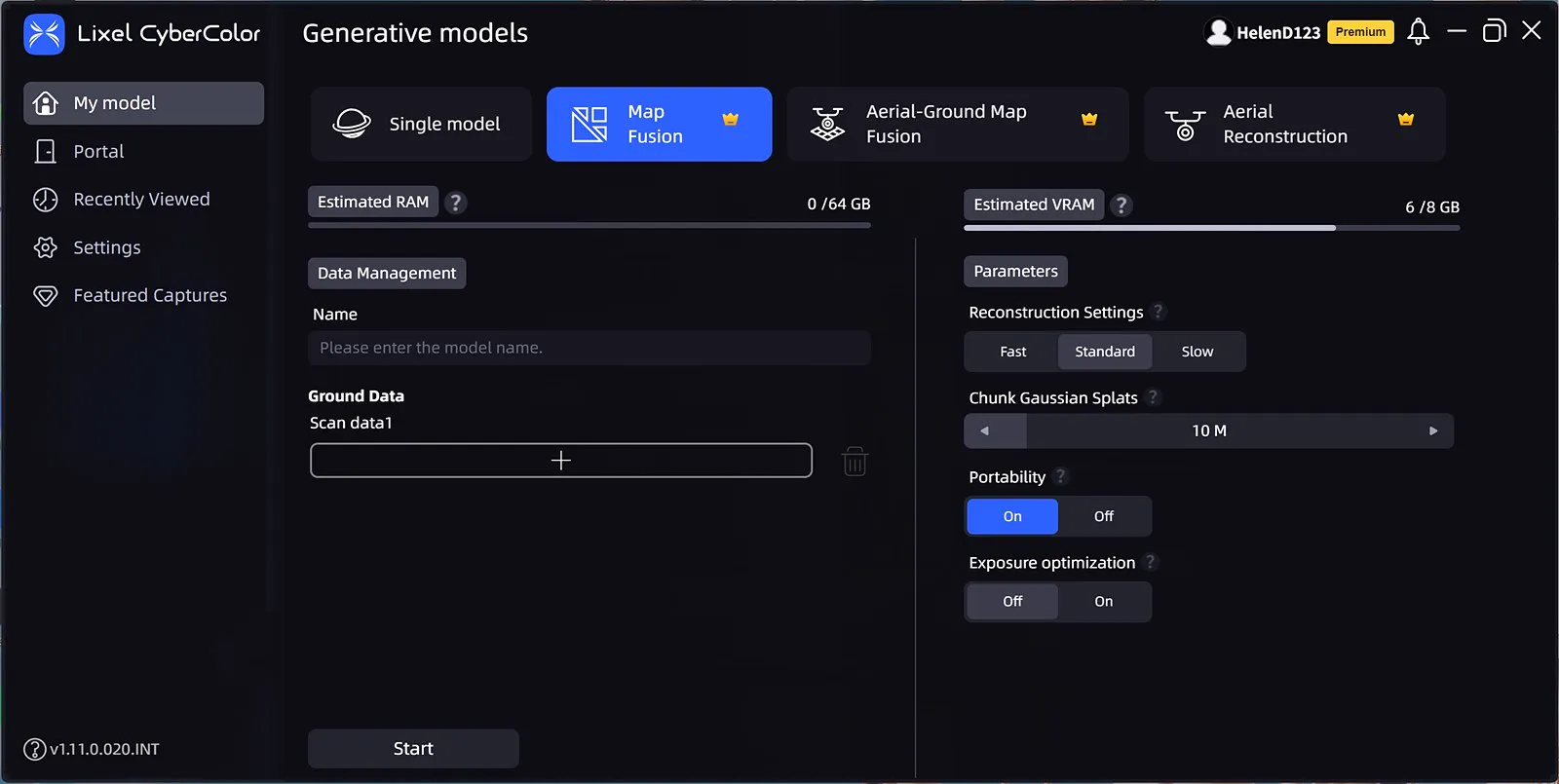
Map fusion
This chapter is from the official XGRIDS user manual. Official source (opens in a new tab) · Updated:



